Citrus Heights night lights from space
Night Light of Citrus Heights (California) from space (United States) Src. Average luminocity for 10x10km area is 86.5731% and for 50x50km: 41.7626%.
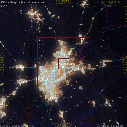
Analysis of Citrus Heights night lights 2016
Square area 10x10 km:
 23.81%
90-99
25.51%80-89
15.14%70-79
23.47%60-69
11.73%50-59
0.34%40-49
0%30-39
0%20-29
0%10-19
0%0-9
0%Square area 50x50 km:
9.41%90-99
10.45%80-89
4.93%70-79
7.45%60-69
6.07%50-59
4.44%40-49
3.48%30-39
3.84%20-29
5.29%10-19
9.31%0-9
35.34%Clear (daylight) street map image can be seen on geolist.org.
Map coordinates:
39° 15' 13.3" North, 121° 59' 3.1" West
38° 42' 25.6" North, 121° 16' 51.8" West
38° 9' 22.8" North, 120° 34' 40.6" West
Some cities around Citrus Heights sort by population:
• Roseville
5 km =3.1 mi,  353°
353°
• Folsom
9.7 km =6 mi,  109°
109°
• Antelope
4.2 km =2.6 mi,  271°
271°
• North Highlands
8.3 km =5.2 mi,  253°
253°
• Orangevale
5.8 km =3.6 mi,  123°
123°
• Foothill Farms
6.9 km =4.3 mi,  242°
242°
• Fair Oaks
7 km =4.3 mi,  173°
173°
• Gold River
9.5 km =5.9 mi,  161°
161°
5337561 (p: 87,056)
Sources (retrieved 2019-11-25):
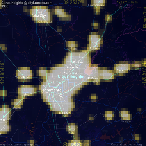
» NASA, Earths city lights 1995
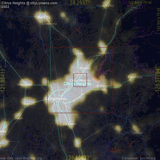
» NASA city lights 2003
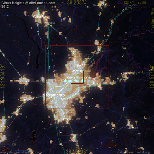
» Earth at Night: Flat Maps 2012, 2016