Ocala night lights from space
Night Light of Ocala (Florida) from space (United States) Src. Average luminocity for 10x10km area is 85.877% and for 50x50km: 23.6375%.
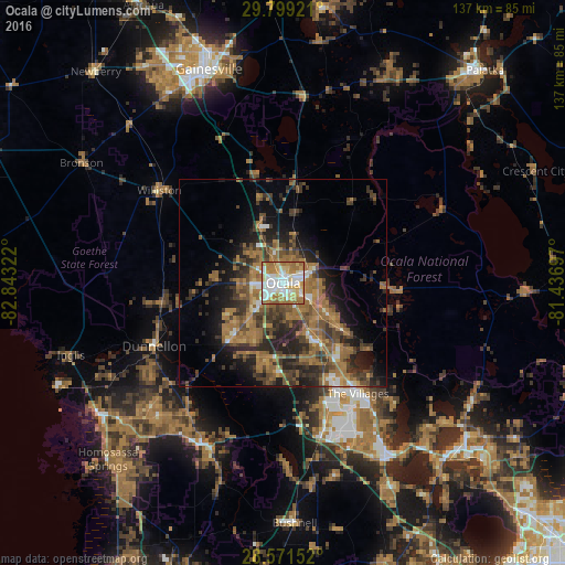
Analysis of Ocala night lights 2016
Square area 10x10 km:
 26.59%
90-99
23.81%80-89
14.29%70-79
12.5%60-69
21.63%50-59
1.19%40-49
0%30-39
0%20-29
0%10-19
0%0-9
0%Square area 50x50 km:
1.9%90-99
1.87%80-89
1.31%70-79
2.28%60-69
9.93%50-59
4.46%40-49
5.28%30-39
5.57%20-29
7.21%10-19
9.26%0-9
50.92%Clear (daylight) street map image can be seen on geolist.org.
Map coordinates:
29° 47' 57.2" North, 82° 50' 35.6" West
29° 11' 13.9" North, 82° 8' 24.3" West
28° 34' 17.5" North, 81° 26' 13.1" West
Some cities around Ocala sort by population:
• The Villages
33.1 km =20.6 mi,  148°
148°
• Lady Lake
36.7 km =22.8 mi,  144°
144°
• Silver Springs
8.7 km =5.4 mi,  67°
67°
• Hernando
39.2 km =24.4 mi,  215°
215°
• Citrus Springs
38.4 km =23.9 mi,  236°
236°
• Wildwood
37.1 km =23.1 mi,  164°
164°
• Silver Springs Shores
14.8 km =9.2 mi,  128°
128°
• Citra
25.2 km =15.7 mi,  6°
6°
4166673 (p: 58,218)
Sources (retrieved 2019-11-25):
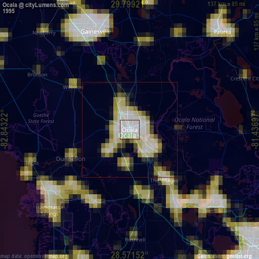
» NASA, Earths city lights 1995
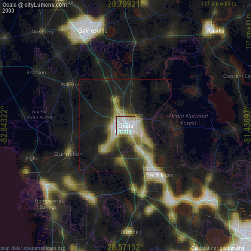
» NASA city lights 2003
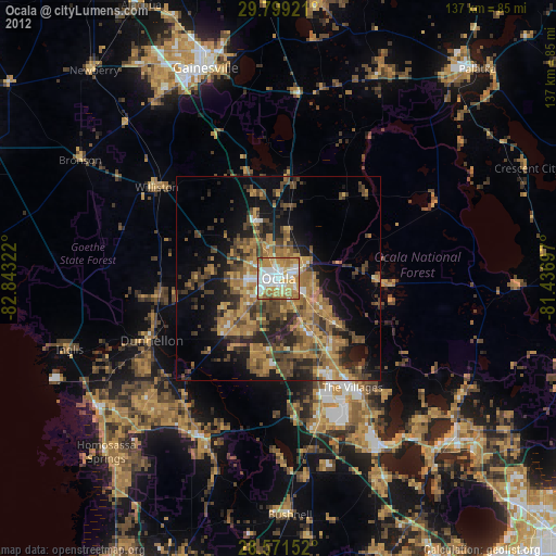
» Earth at Night: Flat Maps 2012, 2016