Alameda night lights from space
Night Light of Alameda (California) from space (United States) Src. Average luminocity for 10x10km area is 81.3384% and for 50x50km: 47.9199%.
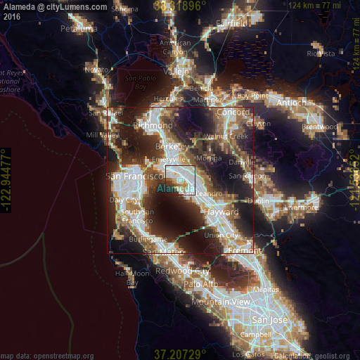
Analysis of Alameda night lights 2016
Square area 10x10 km:
 37.93%
90-99
25.34%80-89
5.95%70-79
4.42%60-69
6.8%50-59
1.87%40-49
1.7%30-39
4.76%20-29
7.65%10-19
3.57%0-9
0%Square area 50x50 km:
11.81%90-99
10.31%80-89
2.72%70-79
5.27%60-69
6.19%50-59
7.35%40-49
7.28%30-39
6.59%20-29
13.44%10-19
17.78%0-9
11.28%Clear (daylight) street map image can be seen on geolist.org.
Map coordinates:
38° 19' 8.3" North, 122° 56' 41.2" West
37° 45' 54.8" North, 122° 14' 29.9" West
37° 12' 26.2" North, 121° 32' 18.7" West
Some cities around Alameda sort by population:
• Oakland
5.1 km =3.2 mi,  329°
329°
• Berkeley
12.1 km =7.5 mi,  346°
346°
• San Leandro
8.8 km =5.5 mi,  120°
120°
• Ashland
13.7 km =8.5 mi, 124°
• Orinda
13.6 km =8.5 mi,  23°
23°
• Moraga
12.5 km =7.8 mi,  51°
51°
• Emeryville
8.3 km =5.2 mi, 332°
• Piedmont
6.6 km =4.1 mi,  7°
7°
5322737 (p: 78,630)
Sources (retrieved 2019-11-25):
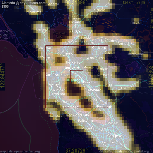
» NASA, Earths city lights 1995
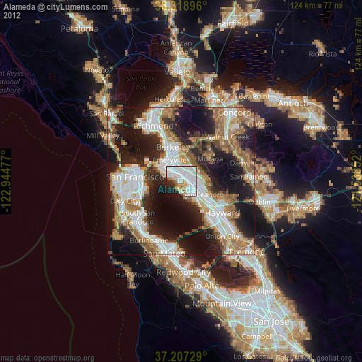
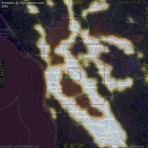
» NASA city lights 2003
» Earth at Night: Flat Maps 2012, 2016