Nutley night lights from space
Night Light of Nutley (New Jersey) from space (United States) Src. Average luminocity for 10x10km area is 97.148% and for 50x50km: 83.0482%.
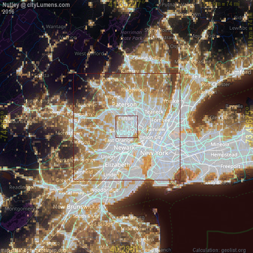
Analysis of Nutley night lights 2016
Square area 10x10 km:
 59.69%
90-99
29.42%80-89
7.82%70-79
3.06%60-69
0%50-59
0%40-49
0%30-39
0%20-29
0%10-19
0%0-9
0%Square area 50x50 km:
38.01%90-99
18.72%80-89
7.9%70-79
10.66%60-69
10.85%50-59
5.4%40-49
2.26%30-39
2.01%20-29
1.26%10-19
1.28%0-9
1.63%Clear (daylight) street map image can be seen on geolist.org.
Map coordinates:
41° 21' 8.2" North, 74° 51' 46.8" West
40° 49' 20.4" North, 74° 9' 35.5" West
40° 17' 17.2" North, 73° 27' 24.3" West
Some cities around Nutley sort by population:
• Clifton
4 km =2.5 mi,  355°
355°
• Bloomfield
2.8 km =1.7 mi,  231°
231°
• Montclair
4.2 km =2.6 mi,  275°
275°
• Belleville
3.3 km =2.1 mi,  165°
165°
• Lyndhurst
3.2 km =2 mi,  110°
110°
• North Arlington
4.4 km =2.7 mi,  149°
149°
• Brookdale
2.3 km =1.4 mi,  303°
303°
• Glen Ridge
4.1 km =2.5 mi,  242°
242°
5102076 (p: 27,572)
Sources (retrieved 2019-11-25):
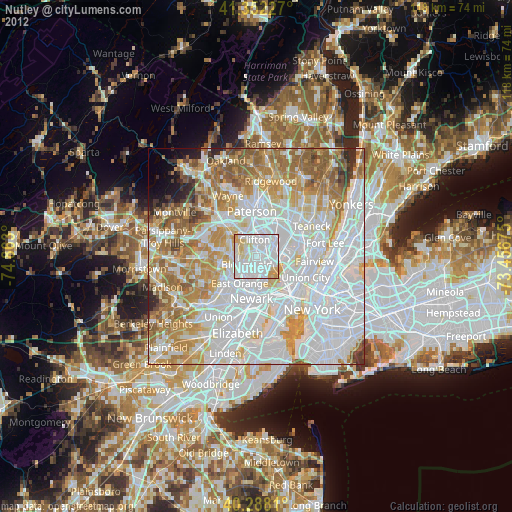
» Earth at Night: Flat Maps 2012, 2016