Lyndhurst night lights from space
Night Light of Lyndhurst (New Jersey) from space (United States) Src. Average luminocity for 10x10km area is 96.8946% and for 50x50km: 85.8635%.
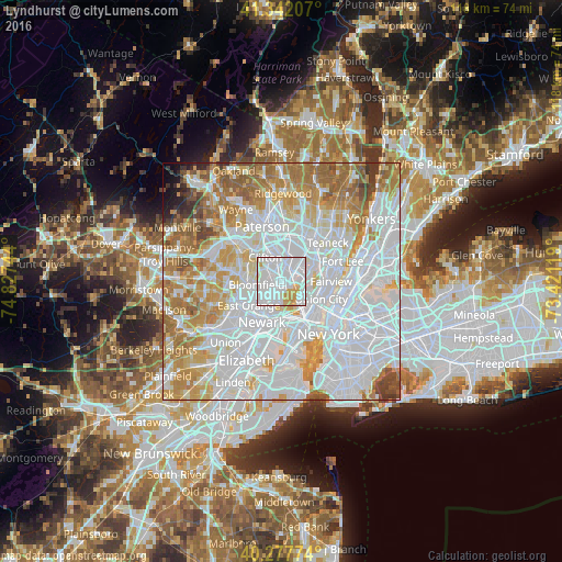
Analysis of Lyndhurst night lights 2016
Square area 10x10 km:
 62.41%
90-99
26.02%80-89
3.91%70-79
7.65%60-69
0%50-59
0%40-49
0%30-39
0%20-29
0%10-19
0%0-9
0%Square area 50x50 km:
41.35%90-99
19.34%80-89
8.08%70-79
10.45%60-69
10.3%50-59
4.7%40-49
2.21%30-39
1.63%20-29
0.77%10-19
0.8%0-9
0.38%Clear (daylight) street map image can be seen on geolist.org.
Map coordinates:
41° 20' 31.5" North, 74° 49' 38.8" West
40° 48' 43.3" North, 74° 7' 27.5" West
40° 16' 39.9" North, 73° 25' 16.3" West
Some cities around Lyndhurst sort by population:
• Belleville
3 km =1.9 mi,  226°
226°
• Nutley
3.2 km =2 mi,  290°
290°
• Rutherford
2.2 km =1.4 mi,  42°
42°
• North Arlington
2.7 km =1.7 mi,  195°
195°
• Wallington
4.7 km =2.9 mi,  10°
10°
• East Rutherford
3.3 km =2.1 mi, 43°
• Wood-Ridge
4.8 km =3 mi, 39°
• Carlstadt
4.2 km =2.6 mi, 41°
5100706 (p: 19,996)
Sources (retrieved 2019-11-25):
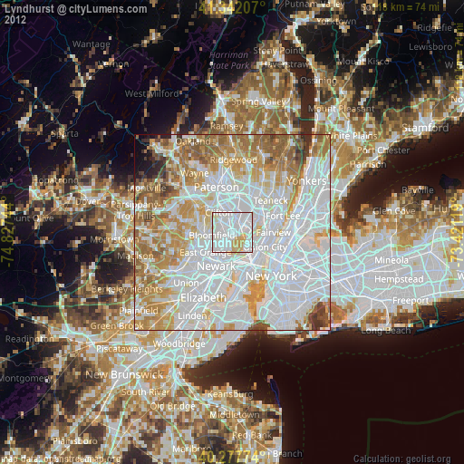
» Earth at Night: Flat Maps 2012, 2016