Clifton night lights from space
Night Light of Clifton (New Jersey) from space (United States) Src. Average luminocity for 10x10km area is 97.1037% and for 50x50km: 79.3512%.
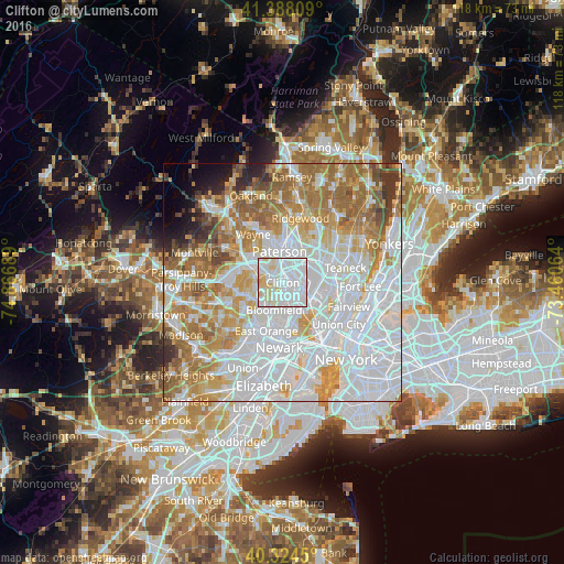
Analysis of Clifton night lights 2016
Square area 10x10 km:
 60.2%
60.2%90-99
27.72%80-89
11.22%70-79
0.85%60-69
0%50-59
0%40-49
0%30-39
0%20-29
0%10-19
0%0-9
0%Square area 50x50 km:
34.38%90-99
17.16%80-89
7.76%70-79
10.53%60-69
11.86%50-59
6%40-49
2.73%30-39
2.53%20-29
1.96%10-19
2.1%0-9
2.99%Clear (daylight) street map image can be seen on geolist.org.
Map coordinates:
41° 23' 17.1" North, 74° 52' 0.8" West
40° 51' 30.3" North, 74° 9' 49.5" West
40° 19' 28.2" North, 73° 27' 38.3" West
Some cities around Clifton sort by population:
• Passaic
3 km =1.9 mi,  93°
93°
• Garfield
5 km =3.1 mi,  58°
58°
• Nutley
4 km =2.5 mi,  175°
175°
• Woodland Park
4.4 km =2.7 mi,  323°
323°
• Wallington
4.2 km =2.6 mi,  97°
97°
• Upper Montclair
3.4 km =2.1 mi,  246°
246°
• Little Falls
3.9 km =2.4 mi,  287°
287°
• Brookdale
3.2 km =2 mi,  210°
210°
5096699 (p: 86,334)
Sources (retrieved 2019-11-25):
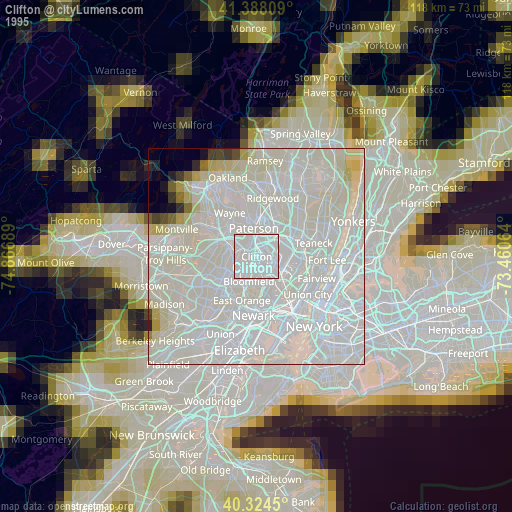
» NASA, Earths city lights 1995
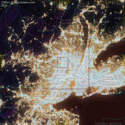
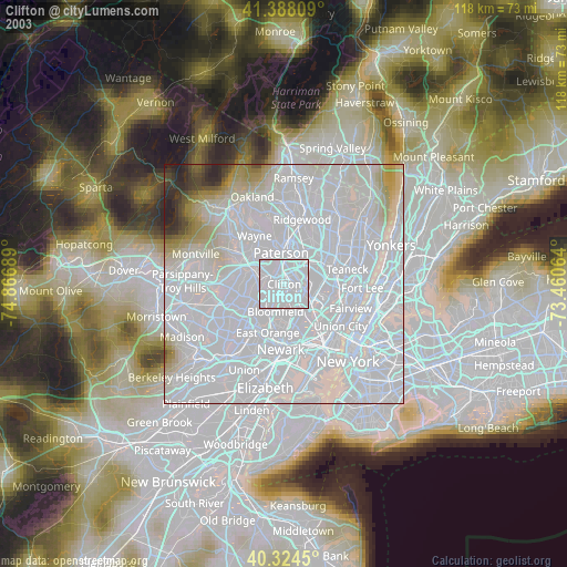
» NASA city lights 2003
» Earth at Night: Flat Maps 2012, 2016