Bloomfield night lights from space
Night Light of Bloomfield (New Jersey) from space (United States) Src. Average luminocity for 10x10km area is 97.5306% and for 50x50km: 82.7621%.
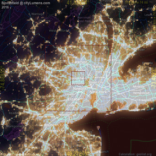
Analysis of Bloomfield night lights 2016
Square area 10x10 km:
 52.55%
90-99
37.93%80-89
9.01%70-79
0.51%60-69
0%50-59
0%40-49
0%30-39
0%20-29
0%10-19
0%0-9
0%Square area 50x50 km:
37.09%90-99
18.88%80-89
8.35%70-79
11.16%60-69
10.37%50-59
5.43%40-49
2.28%30-39
1.91%20-29
1.55%10-19
1.21%0-9
1.78%Clear (daylight) street map image can be seen on geolist.org.
Map coordinates:
41° 20' 12.6" North, 74° 53' 18.8" West
40° 48' 24.4" North, 74° 11' 7.5" West
40° 16' 20.7" North, 73° 28' 56.3" West
Some cities around Bloomfield sort by population:
• East Orange
4.7 km =2.9 mi,  200°
200°
• West Orange
4.6 km =2.9 mi,  258°
258°
• Montclair
2.9 km =1.8 mi,  316°
316°
• Belleville
3.3 km =2.1 mi,  116°
116°
• Nutley
2.8 km =1.7 mi,  51°
51°
• Upper Montclair
4.6 km =2.9 mi,  343°
343°
• Brookdale
3 km =1.9 mi,  4°
4°
• Glen Ridge
1.6 km =1 mi, 264°
5095779 (p: 49,120)
Sources (retrieved 2019-11-25):
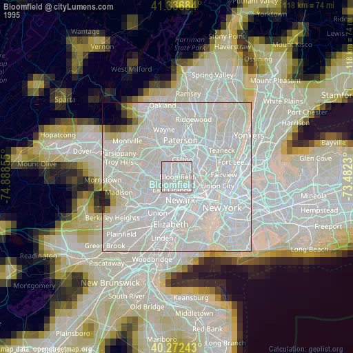
» NASA, Earths city lights 1995
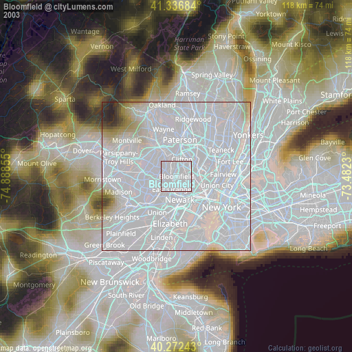
» NASA city lights 2003
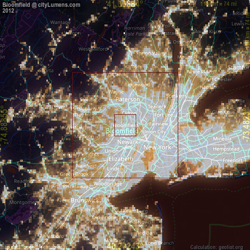
» Earth at Night: Flat Maps 2012, 2016