Belleville night lights from space
Night Light of Belleville (New Jersey) from space (United States) Src. Average luminocity for 10x10km area is 96.4756% and for 50x50km: 85.5458%.
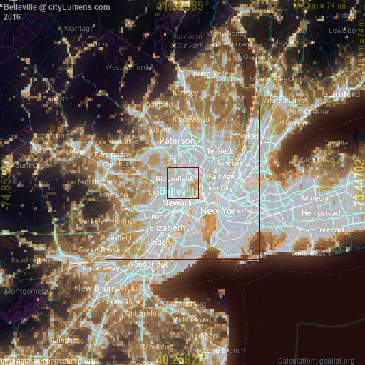
Analysis of Belleville night lights 2016
Square area 10x10 km:
 56.82%
90-99
28.73%80-89
8.44%70-79
6.01%60-69
0%50-59
0%40-49
0%30-39
0%20-29
0%10-19
0%0-9
0%Square area 50x50 km:
40.38%90-99
20.08%80-89
8.41%70-79
10.74%60-69
9.36%50-59
4.58%40-49
2.14%30-39
1.89%20-29
0.8%10-19
0.87%0-9
0.75%Clear (daylight) street map image can be seen on geolist.org.
Map coordinates:
41° 19' 26" North, 74° 51' 11.8" West
40° 47' 37.4" North, 74° 9' 0.5" West
40° 15' 33.4" North, 73° 26' 49.3" West
Some cities around Belleville sort by population:
• Bloomfield
3.3 km =2.1 mi,  296°
296°
• Kearny
2.8 km =1.7 mi,  171°
171°
• Nutley
3.3 km =2.1 mi,  345°
345°
• Lyndhurst
3 km =1.9 mi,  46°
46°
• Rutherford
5.2 km =3.2 mi, 45°
• North Arlington
1.5 km =0.9 mi,  112°
112°
• Brookdale
5.2 km =3.2 mi,  328°
328°
• Glen Ridge
4.7 km =2.9 mi,  286°
286°
5095549 (p: 36,878)
Sources (retrieved 2019-11-25):
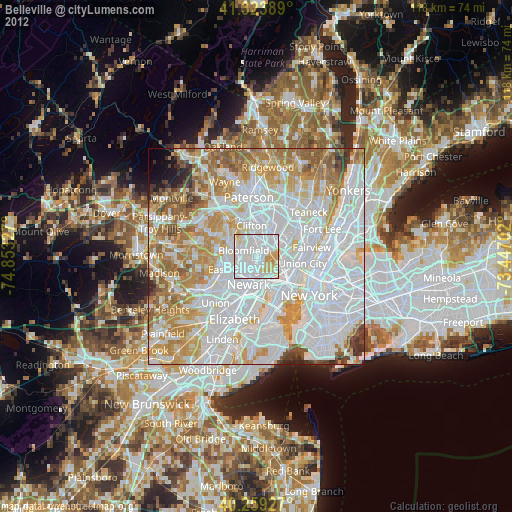
» Earth at Night: Flat Maps 2012, 2016