Niles night lights from space
Night Light of Niles (Illinois) from space (United States) Src. Average luminocity for 10x10km area is 97.6794% and for 50x50km: 67.0549%.
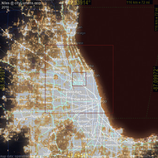
Analysis of Niles night lights 2016
Square area 10x10 km:
 60.32%
90-99
30.95%80-89
7.3%70-79
1.43%60-69
0%50-59
0%40-49
0%30-39
0%20-29
0%10-19
0%0-9
0%Square area 50x50 km:
32.46%90-99
17.27%80-89
8.05%70-79
5.02%60-69
4.36%50-59
3.88%40-49
1.7%30-39
1.28%20-29
2%10-19
3.05%0-9
20.92%Clear (daylight) street map image can be seen on geolist.org.
Map coordinates:
42° 32' 20.9" North, 88° 30' 21.5" West
42° 1' 8.1" North, 87° 48' 10.2" West
41° 29' 39.9" North, 87° 5' 59" West
Some cities around Niles sort by population:
• Skokie
6 km =3.7 mi,  74°
74°
• Des Plaines
6.8 km =4.2 mi,  283°
283°
• Glenview
5.8 km =3.6 mi,  12°
12°
• Park Ridge
3.2 km =2 mi,  254°
254°
• Morton Grove
2.9 km =1.8 mi,  34°
34°
• Norridge
6.5 km =4 mi,  198°
198°
• Lincolnwood
6.2 km =3.9 mi,  104°
104°
• Harwood Heights
5.8 km =3.6 mi,  183°
183°
4903730 (p: 29,876)
Sources (retrieved 2019-11-25):
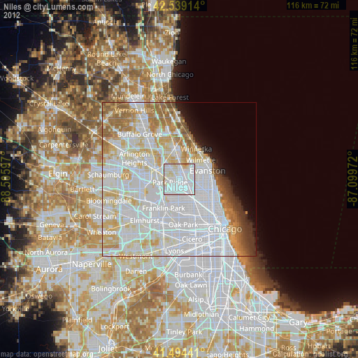
» Earth at Night: Flat Maps 2012, 2016