North Tonawanda night lights from space
Night Light of North Tonawanda (New York) from space (United States) Src. Average luminocity for 10x10km area is 68.0492% and for 50x50km: 35.3429%.
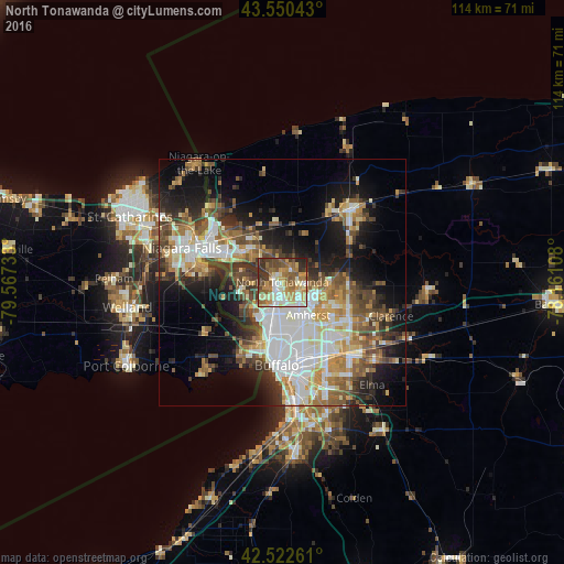
Analysis of North Tonawanda night lights 2016
Square area 10x10 km:
 8.57%
8.57%90-99
17.46%80-89
10%70-79
14.13%60-69
12.86%50-59
11.43%40-49
9.21%30-39
12.06%20-29
4.13%10-19
0.16%0-9
0%Square area 50x50 km:
7.68%90-99
7.05%80-89
3.77%70-79
4.28%60-69
5.05%50-59
5.05%40-49
5.39%30-39
5.28%20-29
6.5%10-19
12.21%0-9
37.76%Clear (daylight) street map image can be seen on geolist.org.
Map coordinates:
43° 33' 1.5" North, 79° 34' 2.4" West
43° 2' 19.2" North, 78° 51' 51.1" West
42° 31' 21.4" North, 78° 9' 39.9" West
Some cities around North Tonawanda sort by population:
• Amherst
8.5 km =5.3 mi,  141°
141°
• Niagara Falls
16.8 km =10.4 mi,  291°
291°
• Grand Island
8 km =5 mi,  265°
265°
• Fort Erie, CA
16.4 km =10.2 mi,  199°
199°
• Kenmore
8.1 km =5 mi,  183°
183°
• Eggertsville
9.7 km =6 mi,  149°
149°
• Tonawanda
2.4 km =1.5 mi,  212°
212°
• Williamsville
13.2 km =8.2 mi,  128°
128°
5129245 (p: 30,785)
Sources (retrieved 2019-11-25):
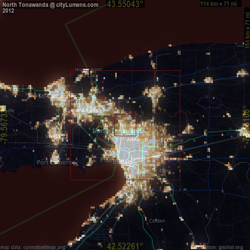
» Earth at Night: Flat Maps 2012, 2016