North Bay Village night lights from space
Night Light of North Bay Village (Florida) from space (United States) Src. Average luminocity for 10x10km area is 84.6705% and for 50x50km: 52.0918%.
Analysis of North Bay Village night lights 2016
Square area 10x10 km:
 32.58%
90-99
23.11%80-89
3.03%70-79
20.64%60-69
10.42%50-59
2.46%40-49
7.77%30-39
0%20-29
0%10-19
0%0-9
0%Square area 50x50 km:
31.88%90-99
10.71%80-89
2.3%70-79
2.96%60-69
2.89%50-59
1.61%40-49
2.26%30-39
1.7%20-29
1.91%10-19
3.92%0-9
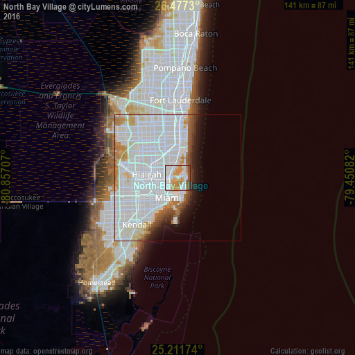
37.86%Clear (daylight) street map image can be seen on geolist.org.
Map coordinates:
26° 28' 38.3" North, 80° 51' 25.5" West
25° 50' 46.4" North, 80° 9' 14.2" West
25° 12' 42.3" North, 79° 27' 3" West
Some cities around North Bay Village sort by population:
• Miami Beach
6.6 km =4.1 mi,  158°
158°
• Allapattah
7.8 km =4.8 mi,  243°
243°
• Pinewood
6.8 km =4.2 mi,  291°
291°
• Gladeview
8.2 km =5.1 mi,  264°
264°
• Miami Shores
4.3 km =2.7 mi,  295°
295°
• Isle of Normandy
2 km =1.2 mi,  68°
68°
• Bay Harbor Islands
5.1 km =3.2 mi,  26°
26°
• Surfside
4.6 km =2.9 mi,  38°
38°
4166105 (p: 8,302)
Sources (retrieved 2019-11-25):
» Earth at Night: Flat Maps 2012, 2016