Miami Shores night lights from space
Night Light of Miami Shores (Florida) from space (United States) Src. Average luminocity for 10x10km area is 94.3788% and for 50x50km: 58.7045%.
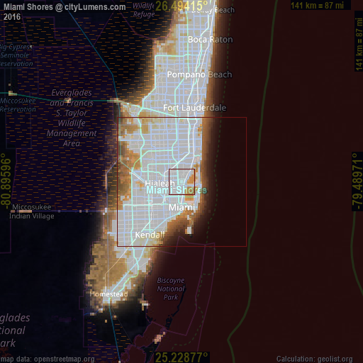
Analysis of Miami Shores night lights 2016
Square area 10x10 km:
 64.58%
90-99
16.1%80-89
1.33%70-79
13.64%60-69
4.36%50-59
0%40-49
0%30-39
0%20-29
0%10-19
0%0-9
0%Square area 50x50 km:
34.07%90-99
12.04%80-89
2.6%70-79
3.46%60-69
4.61%50-59
2.93%40-49
3.45%30-39
2.13%20-29
1.84%10-19
3.89%0-9
28.96%Clear (daylight) street map image can be seen on geolist.org.
Map coordinates:
26° 29' 38.9" North, 80° 53' 45.5" West
25° 51' 47.3" North, 80° 11' 34.2" West
25° 13' 43.6" North, 79° 29' 23" West
Some cities around Miami Shores sort by population:
• North Miami
3.1 km =1.9 mi,  11°
11°
• West Little River
4.5 km =2.8 mi,  261°
261°
• Golden Glades
5.5 km =3.4 mi,  352°
352°
• Pinewood
2.5 km =1.6 mi,  285°
285°
• Gladeview
5 km =3.1 mi,  238°
238°
• Westview
5.3 km =3.3 mi, 293°
• Isle of Normandy
5.9 km =3.7 mi,  101°
101°
• North Bay Village
4.3 km =2.7 mi,  115°
115°
4164211 (p: 10,831)
Sources (retrieved 2019-11-25):
» Earth at Night: Flat Maps 2012, 2016