Gladeview night lights from space
Night Light of Gladeview (Florida) from space (United States) Src. Average luminocity for 10x10km area is 99.9205% and for 50x50km: 60.6553%.
Analysis of Gladeview night lights 2016
Square area 10x10 km:
 93.56%
90-99
6.44%80-89
0%70-79
0%60-69
0%50-59
0%40-49
0%30-39
0%20-29
0%10-19
0%0-9
0%Square area 50x50 km:
33.68%90-99
12.12%80-89
2.47%70-79
3.38%60-69
5.54%50-59
3.89%40-49
3.94%30-39
3.73%20-29
3.52%10-19
4.8%0-9
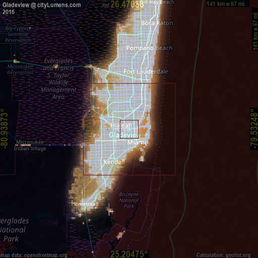
22.93%Clear (daylight) street map image can be seen on geolist.org.
Map coordinates:
26° 28' 13.4" North, 80° 56' 19.4" West
25° 50' 21.3" North, 80° 14' 8.2" West
25° 12' 17.1" North, 79° 31' 56.9" West
Some cities around Gladeview sort by population:
• Hialeah
4.7 km =2.9 mi,  295°
295°
• Allapattah
3 km =1.9 mi,  156°
156°
• West Little River
2 km =1.2 mi,  355°
355°
• Pinewood
3.8 km =2.4 mi,  29°
29°
• Brownsville
2 km =1.2 mi,  195°
195°
• Miami Springs
5.7 km =3.5 mi,  250°
250°
• Miami Shores
5 km =3.1 mi,  58°
58°
• Westview
4.8 km =3 mi,  352°
352°
4156824 (p: 11,535)
Sources (retrieved 2019-11-25):
» Earth at Night: Flat Maps 2012, 2016