Isle of Normandy night lights from space
Night Light of Isle of Normandy (Florida) from space (United States) Src. Average luminocity for 10x10km area is 70.0682% and for 50x50km: 48.8113%.
Analysis of Isle of Normandy night lights 2016
Square area 10x10 km:
 18.56%
90-99
17.42%80-89
3.03%70-79
19.51%60-69
10.8%50-59
2.08%40-49
10.98%30-39
4.92%20-29
8.33%10-19
4.36%0-9
0%Square area 50x50 km:
30.56%90-99
9.85%80-89
2.11%70-79
2.58%60-69
1.9%50-59
1.55%40-49
2.26%30-39
1.71%20-29
1.9%10-19
3.9%0-9
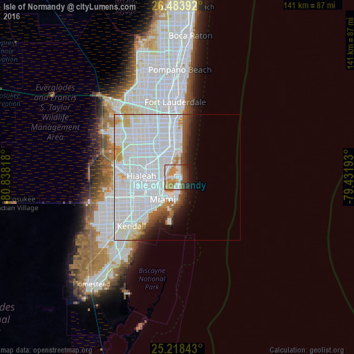
41.67%Clear (daylight) street map image can be seen on geolist.org.
Map coordinates:
26° 29' 2.1" North, 80° 50' 17.4" West
25° 51' 10.3" North, 80° 8' 6.2" West
25° 13' 6.3" North, 79° 25' 54.9" West
Some cities around Isle of Normandy sort by population:
• Miami Beach
6.9 km =4.3 mi,  175°
175°
• North Miami
6.6 km =4.1 mi,  308°
308°
• Golden Glades
9.2 km =5.7 mi,  315°
315°
• Pinewood
8.4 km =5.2 mi,  282°
282°
• Miami Shores
5.9 km =3.7 mi, 281°
• North Bay Village
2 km =1.2 mi,  248°
248°
• Bay Harbor Islands
3.9 km =2.4 mi,  5°
5°
• Surfside
3 km =1.9 mi,  18°
18°
4159873 (p: 8,841)
Sources (retrieved 2019-11-25):
» Earth at Night: Flat Maps 2012, 2016