North Babylon night lights from space
Night Light of North Babylon (New York) from space (United States) Src. Average luminocity for 10x10km area is 84.638% and for 50x50km: 45.6696%.
Analysis of North Babylon night lights 2016
Square area 10x10 km:
 27.6%
27.6%90-99
32.14%80-89
18.02%70-79
4.55%60-69
2.6%50-59
2.6%40-49
2.11%30-39
5.68%20-29
4.71%10-19
0%0-9
0%Square area 50x50 km:
12.03%90-99
10.74%80-89
5.97%70-79
8.58%60-69
6.83%50-59
5.26%40-49
2.91%30-39
2.43%20-29
4.61%10-19
6.62%0-9
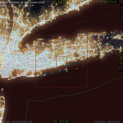
34%Clear (daylight) street map image can be seen on geolist.org.
Map coordinates:
41° 14' 50.2" North, 74° 1' 29.7" West
40° 42' 59.4" North, 73° 19' 18.4" West
40° 10' 53.1" North, 72° 37' 7.2" West
Some cities around North Babylon sort by population:
• West Babylon
2.7 km =1.7 mi,  273°
273°
• West Islip
1.7 km =1.1 mi,  131°
131°
• Deer Park
5.1 km =3.2 mi,  352°
352°
• Lindenhurst
5.5 km =3.4 mi,  232°
232°
• Bay Shore
6.5 km =4 mi,  81°
81°
• Babylon
2.3 km =1.4 mi,  188°
188°
• Wyandanch
5.3 km =3.3 mi,  322°
322°
• Bay Wood
4.5 km =2.8 mi,  34°
34°
5128886 (p: 17,509)
Sources (retrieved 2019-11-25):
» Earth at Night: Flat Maps 2012, 2016