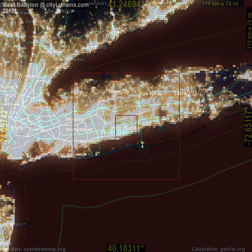
West Babylon night lights from space
Night Light of West Babylon (New York) from space (United States) Src. Average luminocity for 10x10km area is 91.6964% and for 50x50km: 47.2928%.
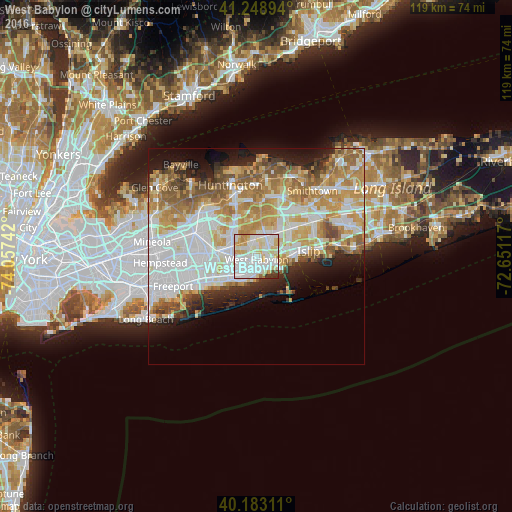
Analysis of West Babylon night lights 2016
Square area 10x10 km:
 35.88%
90-99
35.23%80-89
17.05%70-79
5.52%60-69
1.95%50-59
0.65%40-49
1.14%30-39
2.44%20-29
0.16%10-19
0%0-9
0%Square area 50x50 km:
13.39%90-99
11.03%80-89
6.14%70-79
8.12%60-69
6.79%50-59
5.25%40-49
3.03%30-39
2.47%20-29
4.68%10-19
7.3%0-9
31.8%Clear (daylight) street map image can be seen on geolist.org.
Map coordinates:
41° 14' 56.2" North, 74° 3' 26.7" West
40° 43' 5.4" North, 73° 21' 15.4" West
40° 10' 59.2" North, 72° 39' 4.2" West
Some cities around West Babylon sort by population:
• Deer Park
5.3 km =3.3 mi,  23°
23°
• Lindenhurst
3.8 km =2.4 mi,  204°
204°
• North Babylon
2.7 km =1.7 mi,  93°
93°
• Babylon
3.5 km =2.2 mi,  136°
136°
• North Lindenhurst
2.3 km =1.4 mi,  259°
259°
• Wyandanch
4 km =2.5 mi,  352°
352°
• East Farmingdale
5.4 km =3.4 mi,  283°
283°
• Wheatley Heights
5.2 km =3.2 mi, 345°
5143630 (p: 43,213)
Sources (retrieved 2019-11-25):
» Earth at Night: Flat Maps 2012, 2016