Lindenhurst night lights from space
Night Light of Lindenhurst (New York) from space (United States) Src. Average luminocity for 10x10km area is 75.3344% and for 50x50km: 46.2394%.
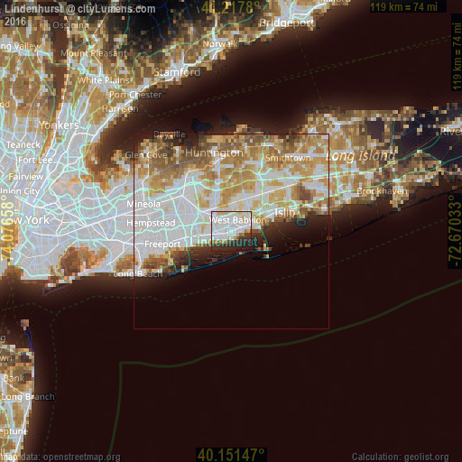
Analysis of Lindenhurst night lights 2016
Square area 10x10 km:
 31.66%
90-99
25.97%80-89
7.31%70-79
3.25%60-69
1.95%50-59
2.6%40-49
0.65%30-39
7.95%20-29
14.45%10-19
4.22%0-9
0%Square area 50x50 km:
14.12%90-99
11.14%80-89
5.9%70-79
7.58%60-69
6.44%50-59
4.68%40-49
2.87%30-39
2.28%20-29
4.07%10-19
4.56%0-9
36.36%Clear (daylight) street map image can be seen on geolist.org.
Map coordinates:
41° 13' 4.1" North, 74° 4' 35.7" West
40° 41' 12.4" North, 73° 22' 24.4" West
40° 9' 5.3" North, 72° 40' 13.2" West
Some cities around Lindenhurst sort by population:
• West Babylon
3.8 km =2.4 mi,  24°
24°
• Copiague
2.3 km =1.4 mi,  255°
255°
• East Massapequa
5.5 km =3.4 mi,  254°
254°
• North Amityville
4.5 km =2.8 mi,  285°
285°
• North Babylon
5.5 km =3.4 mi,  52°
52°
• Babylon
4.1 km =2.5 mi,  76°
76°
• North Lindenhurst
3.1 km =1.9 mi,  347°
347°
• Amityville
3.8 km =2.4 mi, 256°
5124497 (p: 27,277)
Sources (retrieved 2019-11-25):
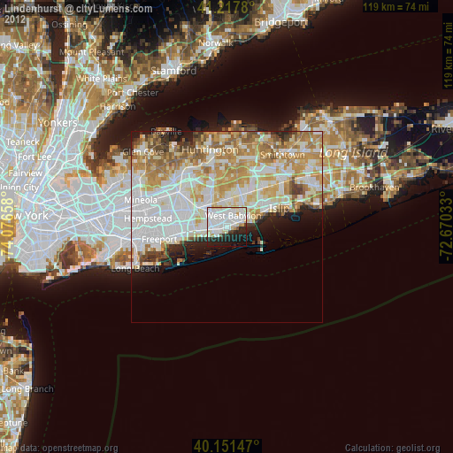
» Earth at Night: Flat Maps 2012, 2016