West Islip night lights from space
Night Light of West Islip (New York) from space (United States) Src. Average luminocity for 10x10km area is 73.9756% and for 50x50km: 44.5773%.
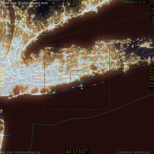
Analysis of West Islip night lights 2016
Square area 10x10 km:
 21.75%
90-99
23.7%80-89
16.72%70-79
4.87%60-69
3.25%50-59
3.57%40-49
2.76%30-39
7.63%20-29
12.01%10-19
3.57%0-9
0.16%Square area 50x50 km:
11.42%90-99
10.75%80-89
5.93%70-79
8.42%60-69
6.83%50-59
5.1%40-49
2.8%30-39
2.37%20-29
4.53%10-19
5.76%0-9
36.08%Clear (daylight) street map image can be seen on geolist.org.
Map coordinates:
41° 14' 13.5" North, 74° 0' 33.7" West
40° 42' 22.4" North, 73° 18' 22.4" West
40° 10' 15.9" North, 72° 36' 11.2" West
Some cities around West Islip sort by population:
• Deer Park
6.5 km =4 mi,  342°
342°
• Lindenhurst
6.1 km =3.8 mi,  249°
249°
• Bay Shore
5.5 km =3.4 mi,  67°
67°
• North Bay Shore
5 km =3.1 mi,  47°
47°
• North Babylon
1.7 km =1.1 mi,  311°
311°
• Babylon
2 km =1.2 mi,  234°
234°
• North Lindenhurst
6.4 km =4 mi,  278°
278°
• Bay Wood
5 km =3.1 mi,  14°
14°
5143866 (p: 28,335)
Sources (retrieved 2019-11-25):
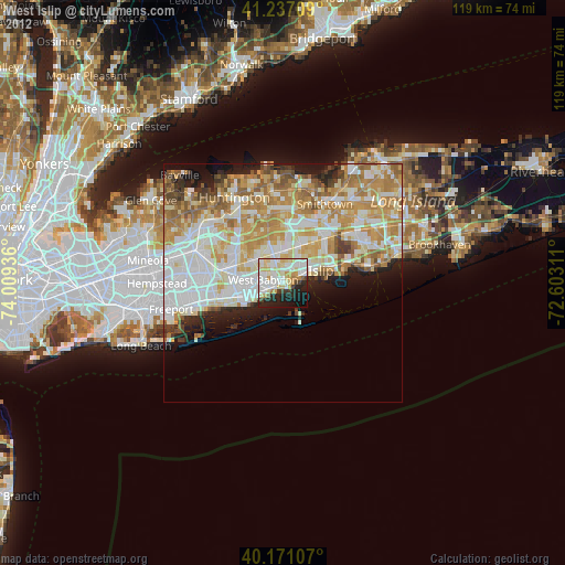
» Earth at Night: Flat Maps 2012, 2016