Deer Park night lights from space
Night Light of Deer Park (New York) from space (United States) Src. Average luminocity for 10x10km area is 88.2386% and for 50x50km: 47.003%.
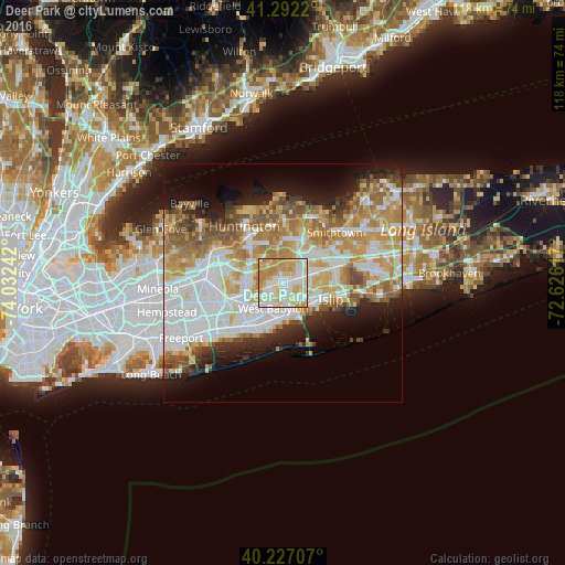
Analysis of Deer Park night lights 2016
Square area 10x10 km:
 21.43%
90-99
28.9%80-89
22.4%70-79
22.4%60-69
4.87%50-59
0%40-49
0%30-39
0%20-29
0%10-19
0%0-9
0%Square area 50x50 km:
12.39%90-99
10.82%80-89
6.12%70-79
8.65%60-69
6.81%50-59
5.43%40-49
3.14%30-39
2.6%20-29
4.97%10-19
8.07%0-9
31.01%Clear (daylight) street map image can be seen on geolist.org.
Map coordinates:
41° 17' 31.9" North, 74° 1' 56.7" West
40° 45' 42.4" North, 73° 19' 45.4" West
40° 13' 37.5" North, 72° 37' 34.2" West
Some cities around Deer Park sort by population:
• West Babylon
5.3 km =3.3 mi,  203°
203°
• West Islip
6.5 km =4 mi,  162°
162°
• Dix Hills
4.8 km =3 mi,  353°
353°
• North Bay Shore
6.3 km =3.9 mi,  116°
116°
• North Babylon
5.1 km =3.2 mi,  172°
172°
• Wyandanch
2.8 km =1.7 mi,  251°
251°
• Bay Wood
3.5 km =2.2 mi,  112°
112°
• Wheatley Heights
3.4 km =2.1 mi,  273°
273°
5114731 (p: 27,745)
Sources (retrieved 2019-11-25):
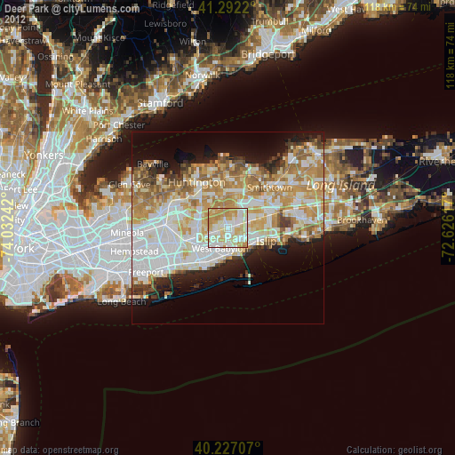
» Earth at Night: Flat Maps 2012, 2016