Bay Shore night lights from space
Night Light of Bay Shore (New York) from space (United States) Src. Average luminocity for 10x10km area is 69.4513% and for 50x50km: 42.8761%.
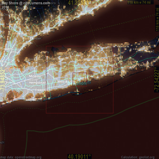
Analysis of Bay Shore night lights 2016
Square area 10x10 km:
 15.1%
15.1%90-99
19.97%80-89
15.91%70-79
11.69%60-69
3.08%50-59
5.52%40-49
5.36%30-39
4.06%20-29
12.34%10-19
6.98%0-9
0%Square area 50x50 km:
9.64%90-99
10.19%80-89
6.04%70-79
8.27%60-69
7.43%50-59
5.41%40-49
2.61%30-39
2.28%20-29
4.65%10-19
6.57%0-9
36.91%Clear (daylight) street map image can be seen on geolist.org.
Map coordinates:
41° 15' 21" North, 73° 56' 54.7" West
40° 43' 30.4" North, 73° 14' 43.4" West
40° 11' 24.4" North, 72° 32' 32.2" West
Some cities around Bay Shore sort by population:
• Brentwood
6.2 km =3.9 mi,  359°
359°
• West Islip
5.5 km =3.4 mi,  247°
247°
• North Bay Shore
1.9 km =1.2 mi,  310°
310°
• Islip
3 km =1.9 mi,  79°
79°
• North Babylon
6.5 km =4 mi,  261°
261°
• East Islip
5.1 km =3.2 mi, 81°
• Bay Wood
4.8 km =3 mi, 305°
• Islip Terrace
4.9 km =3 mi,  65°
65°
5108169 (p: 26,337)
Sources (retrieved 2019-11-25):
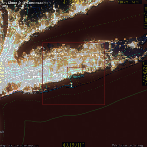
» Earth at Night: Flat Maps 2012, 2016