Harwood Heights night lights from space
Night Light of Harwood Heights (Illinois) from space (United States) Src. Average luminocity for 10x10km area is 99.2397% and for 50x50km: 74.3796%.
Analysis of Harwood Heights night lights 2016
Square area 10x10 km:
 81.43%
90-99
15.87%80-89
2.7%70-79
0%60-69
0%50-59
0%40-49
0%30-39
0%20-29
0%10-19
0%0-9
0%Square area 50x50 km:
38.49%90-99
19.09%80-89
9.13%70-79
5.4%60-69
3.23%50-59
2.41%40-49
1.46%30-39
1.5%20-29
1.89%10-19
2.73%0-9
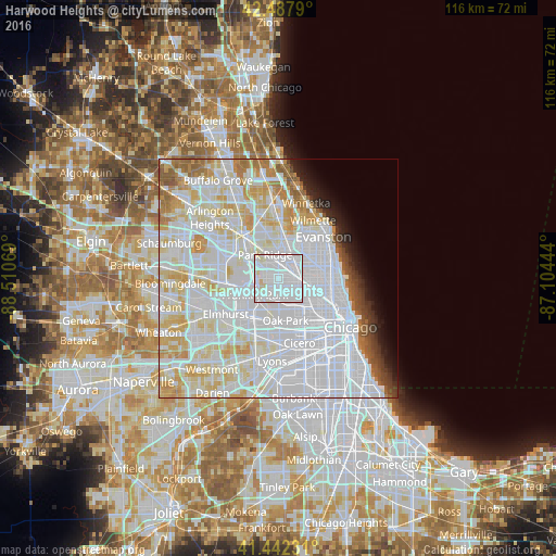
14.67%Clear (daylight) street map image can be seen on geolist.org.
Map coordinates:
42° 29' 16.4" North, 88° 30' 38.5" West
41° 58' 2.1" North, 87° 48' 27.2" West
41° 26' 32.3" North, 87° 6' 16" West
Some cities around Harwood Heights sort by population:
• Belmont Cragin
5.1 km =3.2 mi,  140°
140°
• Portage Park
3.7 km =2.3 mi,  106°
106°
• Park Ridge
5.6 km =3.5 mi,  330°
330°
• Niles
5.8 km =3.6 mi,  3°
3°
• Elmwood Park
5.1 km =3.2 mi,  181°
181°
• Norridge
1.7 km =1.1 mi,  255°
255°
• Schiller Park
5.4 km =3.4 mi, 256°
• River Grove
5.2 km =3.2 mi,  206°
206°
4895308 (p: 8,635)
Sources (retrieved 2019-11-25):
» Earth at Night: Flat Maps 2012, 2016