Norridge night lights from space
Night Light of Norridge (Illinois) from space (United States) Src. Average luminocity for 10x10km area is 99.2444% and for 50x50km: 77.0322%.
Analysis of Norridge night lights 2016
Square area 10x10 km:
 79.68%
90-99
17.94%80-89
2.38%70-79
0%60-69
0%50-59
0%40-49
0%30-39
0%20-29
0%10-19
0%0-9
0%Square area 50x50 km:
39.5%90-99
19.89%80-89
9.61%70-79
6.02%60-69
3.21%50-59
2.58%40-49
1.53%30-39
1.4%20-29
1.77%10-19
2.53%0-9
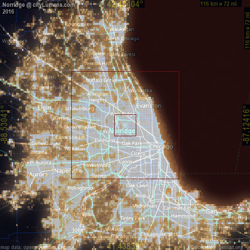
11.96%Clear (daylight) street map image can be seen on geolist.org.
Map coordinates:
42° 29' 2.5" North, 88° 31' 49.5" West
41° 57' 48.1" North, 87° 49' 38.2" West
41° 26' 18.2" North, 87° 7' 27" West
Some cities around Norridge sort by population:
• Belmont Cragin
6 km =3.7 mi,  125°
125°
• Portage Park
5.2 km =3.2 mi,  96°
96°
• Park Ridge
5.4 km =3.4 mi,  348°
348°
• Elmwood Park
4.9 km =3 mi,  162°
162°
• Franklin Park
4.4 km =2.7 mi,  225°
225°
• Schiller Park
3.7 km =2.3 mi,  256°
256°
• River Grove
4.2 km =2.6 mi,  189°
189°
• Harwood Heights
1.7 km =1.1 mi,  75°
75°
4903803 (p: 14,621)
Sources (retrieved 2019-11-25):
» Earth at Night: Flat Maps 2012, 2016