New Haven night lights from space
Night Light of New Haven (Connecticut) from space (United States) Src. Average luminocity for 10x10km area is 87.3977% and for 50x50km: 29.8048%.
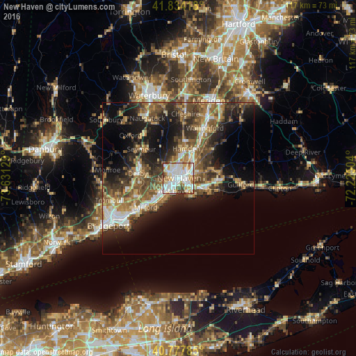
Analysis of New Haven night lights 2016
Square area 10x10 km:
 30.84%
90-99
33.6%80-89
9.25%70-79
9.74%60-69
6.49%50-59
3.41%40-49
4.06%30-39
2.6%20-29
0%10-19
0%0-9
0%Square area 50x50 km:
3.91%90-99
4.55%80-89
3.65%70-79
3.76%60-69
5.19%50-59
5.96%40-49
5.87%30-39
5.3%20-29
8.25%10-19
12.67%0-9
40.9%Clear (daylight) street map image can be seen on geolist.org.
Map coordinates:
41° 50' 3" North, 73° 37' 52.6" West
41° 18' 29.3" North, 72° 55' 41.4" West
40° 46' 40.3" North, 72° 13' 30.1" West
Some cities around New Haven sort by population:
• Hamden
10.1 km =6.3 mi,  15°
15°
• West Haven
4.5 km =2.8 mi,  200°
200°
• Branford
10 km =6.2 mi,  108°
108°
• East Haven
6.1 km =3.8 mi,  125°
125°
• North Haven
10.8 km =6.7 mi,  31°
31°
• Orange
8.8 km =5.5 mi,  247°
247°
• Woodbridge
8.3 km =5.2 mi,  306°
306°
• Branford Center
10 km =6.2 mi, 109°
4839366 (p: 130,322)
Sources (retrieved 2019-11-25):
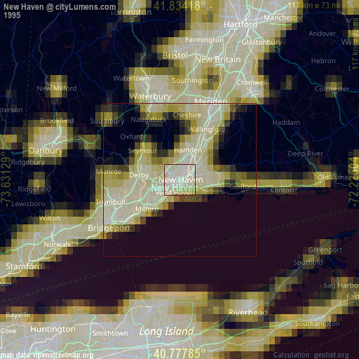
» NASA, Earths city lights 1995
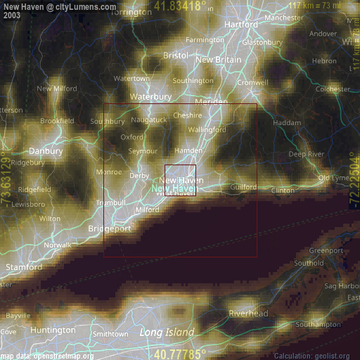
» NASA city lights 2003
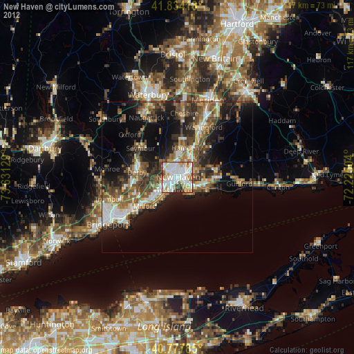
» Earth at Night: Flat Maps 2012, 2016