East Haven night lights from space
Night Light of East Haven (Connecticut) from space (United States) Src. Average luminocity for 10x10km area is 59.3701% and for 50x50km: 24.2368%.
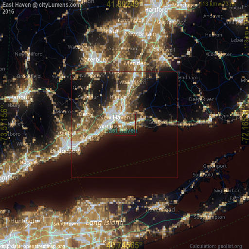
Analysis of East Haven night lights 2016
Square area 10x10 km:
 11.69%
90-99
14.12%80-89
6.33%70-79
7.79%60-69
8.28%50-59
10.55%40-49
11.85%30-39
6.17%20-29
10.71%10-19
12.5%0-9
0%Square area 50x50 km:
3.15%90-99
3.75%80-89
3%70-79
3.07%60-69
4%50-59
4.84%40-49
4.82%30-39
3.96%20-29
6.66%10-19
11.21%0-9
51.54%Clear (daylight) street map image can be seen on geolist.org.
Map coordinates:
41° 48' 9" North, 73° 34' 17.6" West
41° 16' 34.4" North, 72° 52' 6.3" West
40° 44' 44.3" North, 72° 9' 55.1" West
Some cities around East Haven sort by population:
• New Haven
6.1 km =3.8 mi,  305°
305°
• Hamden
13.5 km =8.4 mi,  349°
349°
• West Haven
6.6 km =4.1 mi,  264°
264°
• Branford
4.5 km =2.8 mi,  85°
85°
• North Haven
12.8 km =8 mi,  3°
3°
• North Branford
10.2 km =6.3 mi,  55°
55°
• Orange
13.1 km =8.1 mi,  271°
271°
• Branford Center
4.5 km =2.8 mi, 88°
4833425 (p: 29,257)
Sources (retrieved 2019-11-25):
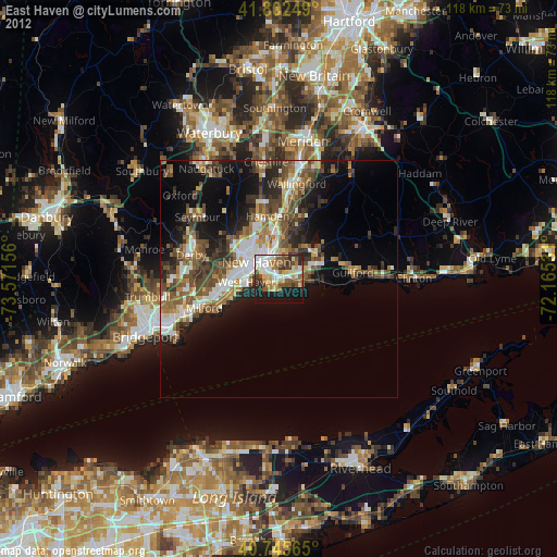
» Earth at Night: Flat Maps 2012, 2016