Hamden night lights from space
Night Light of Hamden (Connecticut) from space (United States) Src. Average luminocity for 10x10km area is 62.6599% and for 50x50km: 38.2881%.
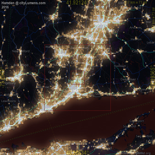
Analysis of Hamden night lights 2016
Square area 10x10 km:
 7.82%
7.82%90-99
12.41%80-89
9.69%70-79
9.35%60-69
13.78%50-59
17.86%40-49
8.33%30-39
9.86%20-29
7.31%10-19
3.57%0-9
0%Square area 50x50 km:
4.96%90-99
5.59%80-89
4.83%70-79
5.42%60-69
6.64%50-59
8.4%40-49
8.32%30-39
7.16%20-29
9.35%10-19
12.38%0-9
26.96%Clear (daylight) street map image can be seen on geolist.org.
Map coordinates:
41° 55' 16.5" North, 73° 35' 59.6" West
41° 23' 45.3" North, 72° 53' 48.4" West
40° 51' 58.8" North, 72° 11' 37.1" West
Some cities around Hamden sort by population:
• New Haven
10.1 km =6.3 mi,  195°
195°
• Cheshire
11.5 km =7.1 mi,  358°
358°
• North Haven
3.2 km =2 mi,  100°
100°
• Wallingford Center
8.8 km =5.5 mi,  47°
47°
• Wallingford
9.2 km =5.7 mi,  42°
42°
• North Branford
13.2 km =8.2 mi,  125°
125°
• Woodbridge
10.5 km =6.5 mi,  242°
242°
• Cheshire Village
11.9 km =7.4 mi, 358°
4835654 (p: 59,847)
Sources (retrieved 2019-11-25):
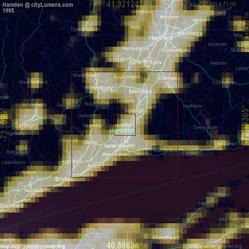
» NASA, Earths city lights 1995
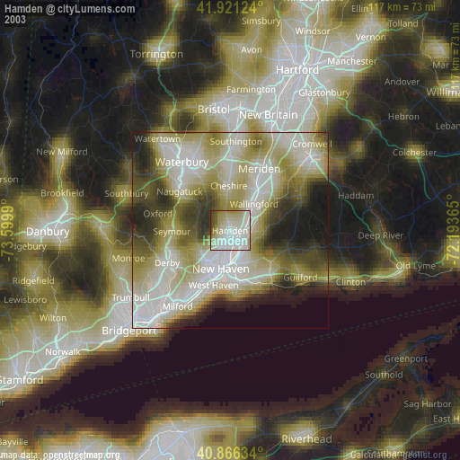
» NASA city lights 2003
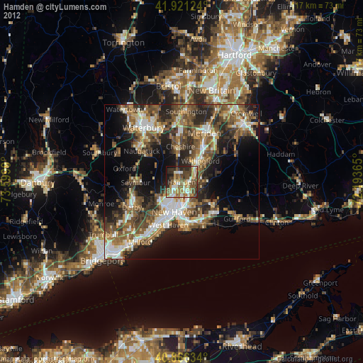
» Earth at Night: Flat Maps 2012, 2016