North Haven night lights from space
Night Light of North Haven (Connecticut) from space (United States) Src. Average luminocity for 10x10km area is 62.7228% and for 50x50km: 36.9831%.
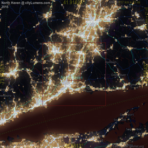
Analysis of North Haven night lights 2016
Square area 10x10 km:
 6.46%
6.46%90-99
11.56%80-89
8.16%70-79
8.67%60-69
15.14%50-59
19.39%40-49
14.8%30-39
12.76%20-29
3.06%10-19
0%0-9
0%Square area 50x50 km:
4.62%90-99
5.33%80-89
4.72%70-79
5.24%60-69
6.42%50-59
8.14%40-49
8.24%30-39
6.89%20-29
8.98%10-19
12.66%0-9
28.76%Clear (daylight) street map image can be seen on geolist.org.
Map coordinates:
41° 54' 58.6" North, 73° 33' 45.6" West
41° 23' 27.3" North, 72° 51' 34.3" West
40° 51' 40.7" North, 72° 9' 23.1" West
Some cities around North Haven sort by population:
• New Haven
10.8 km =6.7 mi,  211°
211°
• Hamden
3.2 km =2 mi,  280°
280°
• Cheshire
12.5 km =7.8 mi,  344°
344°
• Branford
12.9 km =8 mi,  163°
163°
• East Haven
12.8 km =8 mi,  183°
183°
• Wallingford Center
7.4 km =4.6 mi,  27°
27°
• Wallingford
8 km =5 mi,  22°
22°
• Cheshire Village
12.9 km =8 mi, 344°
4839704 (p: 24,093)
Sources (retrieved 2019-11-25):
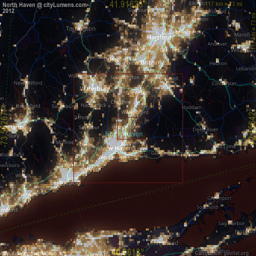
» Earth at Night: Flat Maps 2012, 2016