West Haven night lights from space
Night Light of West Haven (Connecticut) from space (United States) Src. Average luminocity for 10x10km area is 65.3523% and for 50x50km: 27.0039%.
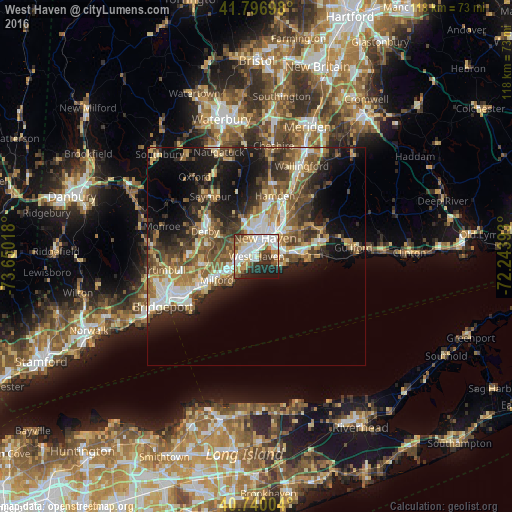
Analysis of West Haven night lights 2016
Square area 10x10 km:
 20.13%
90-99
17.53%80-89
5.68%70-79
7.14%60-69
7.95%50-59
5.03%40-49
7.14%30-39
7.14%20-29
12.99%10-19
9.25%0-9
0%Square area 50x50 km:
3.81%90-99
4.38%80-89
3.34%70-79
3.39%60-69
4.52%50-59
5.23%40-49
4.82%30-39
4.39%20-29
7.21%10-19
11.97%0-9
46.95%Clear (daylight) street map image can be seen on geolist.org.
Map coordinates:
41° 47' 49.1" North, 73° 39' 0.6" West
41° 16' 14.3" North, 72° 56' 49.4" West
40° 44' 24.1" North, 72° 14' 38.1" West
Some cities around West Haven sort by population:
• New Haven
4.5 km =2.8 mi,  20°
20°
• Milford
10.6 km =6.6 mi,  239°
239°
• City of Milford (balance)
10.9 km =6.8 mi, 241°
• Branford
11.1 km =6.9 mi,  84°
84°
• East Haven
6.6 km =4.1 mi, 84°
• Orange
6.6 km =4.1 mi,  277°
277°
• Woodbridge
10.5 km =6.5 mi,  330°
330°
• Branford Center
11.1 km =6.9 mi,  86°
86°
4845419 (p: 54,927)
Sources (retrieved 2019-11-25):
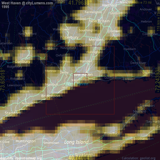
» NASA, Earths city lights 1995
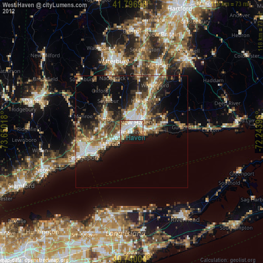
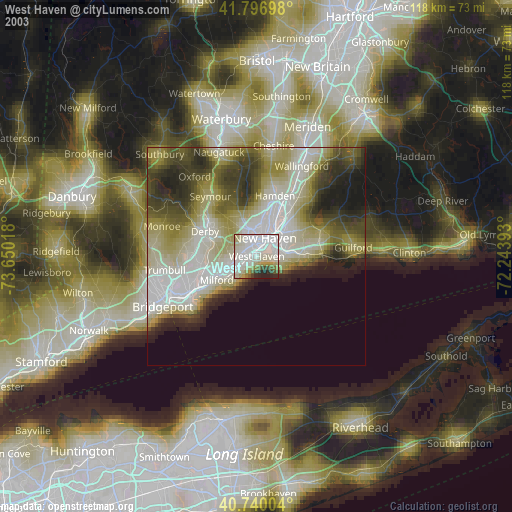
» NASA city lights 2003
» Earth at Night: Flat Maps 2012, 2016