New Dorp Beach night lights from space
Night Light of New Dorp Beach (New York) from space (United States) Src. Average luminocity for 10x10km area is 60.4416% and for 50x50km: 66.1939%.
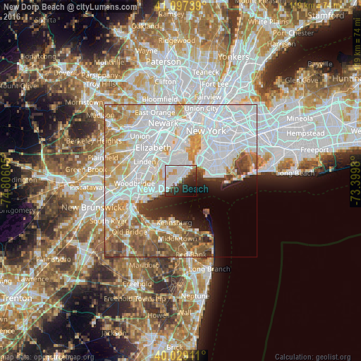
Analysis of New Dorp Beach night lights 2016
Square area 10x10 km:
 27.27%
90-99
15.26%80-89
1.79%70-79
4.06%60-69
2.27%50-59
3.73%40-49
3.41%30-39
7.79%20-29
16.07%10-19
12.01%0-9
6.33%Square area 50x50 km:
31.17%90-99
13.26%80-89
6.06%70-79
6.91%60-69
6.94%50-59
5.74%40-49
3.38%30-39
2.79%20-29
3.37%10-19
4.62%0-9
15.77%Clear (daylight) street map image can be seen on geolist.org.
Map coordinates:
41° 5' 50.6" North, 74° 48' 21.8" West
40° 33' 55.4" North, 74° 6' 10.5" West
40° 1' 44.8" North, 73° 23' 59.3" West
Some cities around New Dorp Beach sort by population:
• Staten Island
3.1 km =1.9 mi,  263°
263°
• Great Kills
4.3 km =2.7 mi,  253°
253°
• Emerson Hill
4.9 km =3 mi,  6°
6°
• Arrochar
4.5 km =2.8 mi,  34°
34°
• Oakwood
1.1 km =0.7 mi, 262°
• Dongan Hills
2.6 km =1.6 mi, 12°
• South Beach
3 km =1.9 mi,  48°
48°
• Midland Beach
1.1 km =0.7 mi,  39°
39°
5128492 (p: 6,201)
Sources (retrieved 2019-11-25):
» Earth at Night: Flat Maps 2012, 2016