Dongan Hills night lights from space
Night Light of Dongan Hills (New York) from space (United States) Src. Average luminocity for 10x10km area is 78.2532% and for 50x50km: 68.7546%.
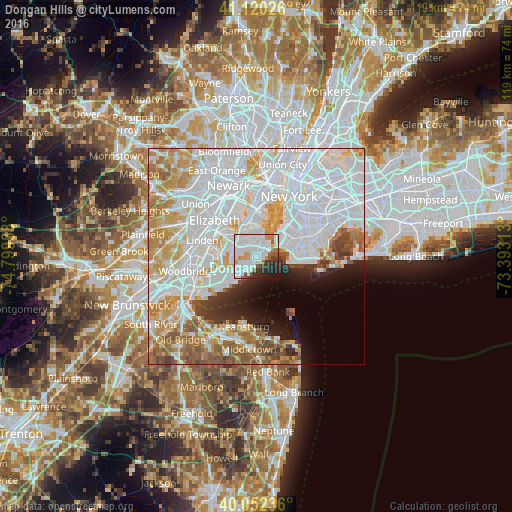
Analysis of Dongan Hills night lights 2016
Square area 10x10 km:
 42.86%
90-99
19.16%80-89
1.95%70-79
4.55%60-69
4.87%50-59
4.55%40-49
1.95%30-39
6.17%20-29
9.58%10-19
4.38%0-9
0%Square area 50x50 km:
33.61%90-99
14.61%80-89
6.52%70-79
7.09%60-69
6.16%50-59
4.38%40-49
2.71%30-39
2.45%20-29
3.3%10-19
4.46%0-9
14.72%Clear (daylight) street map image can be seen on geolist.org.
Map coordinates:
41° 7' 12.9" North, 74° 47' 57.8" West
40° 35' 18.4" North, 74° 5' 46.5" West
40° 3' 8.5" North, 73° 23' 35.3" West
Some cities around Dongan Hills sort by population:
• Emerson Hill
2.3 km =1.4 mi,  0°
0°
• Arrochar
2.3 km =1.4 mi,  60°
60°
• Oakwood
3.2 km =2 mi,  211°
211°
• Concord
2.4 km =1.5 mi,  24°
24°
• South Beach
1.8 km =1.1 mi,  108°
108°
• Midland Beach
1.7 km =1.1 mi,  175°
175°
• New Dorp
2.3 km =1.4 mi,  226°
226°
• New Dorp Beach
2.6 km =1.6 mi,  192°
192°
5115204 (p: 9,529)
Sources (retrieved 2019-11-25):
» Earth at Night: Flat Maps 2012, 2016