South Beach night lights from space
Night Light of South Beach (New York) from space (United States) Src. Average luminocity for 10x10km area is 67.3328% and for 50x50km: 67.1652%.
Analysis of South Beach night lights 2016
Square area 10x10 km:
 31.66%
90-99
16.4%80-89
1.95%70-79
3.57%60-69
4.55%50-59
5.68%40-49
3.41%30-39
8.93%20-29
13.64%10-19
9.58%0-9
0.65%Square area 50x50 km:
33.67%90-99
14.12%80-89
6.1%70-79
6.29%60-69
5.43%50-59
4.66%40-49
2.75%30-39
2.52%20-29
3.42%10-19
4.64%0-9
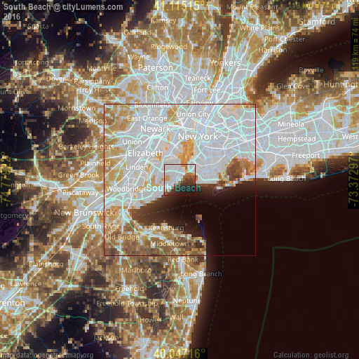
16.42%Clear (daylight) street map image can be seen on geolist.org.
Map coordinates:
41° 6' 54.5" North, 74° 46' 45.2" West
40° 34' 59.8" North, 74° 4' 33.9" West
40° 2' 49.8" North, 73° 22' 22.7" West
Some cities around South Beach sort by population:
• Emerson Hill
3.3 km =2.1 mi,  329°
329°
• Arrochar
1.7 km =1.1 mi,  9°
9°
• Oakwood
4 km =2.5 mi,  237°
237°
• Dongan Hills
1.8 km =1.1 mi,  288°
288°
• Concord
2.9 km =1.8 mi,  345°
345°
• Midland Beach
1.9 km =1.2 mi,  234°
234°
• New Dorp
3.5 km =2.2 mi,  252°
252°
• New Dorp Beach
3 km =1.9 mi, 228°
5138744 (p: 8,029)
Sources (retrieved 2019-11-25):
» Earth at Night: Flat Maps 2012, 2016