Emerson Hill night lights from space
Night Light of Emerson Hill (New York) from space (United States) Src. Average luminocity for 10x10km area is 87.276% and for 50x50km: 71.1623%.
Analysis of Emerson Hill night lights 2016
Square area 10x10 km:
 49.35%
90-99
20.13%80-89
2.76%70-79
9.74%60-69
6.33%50-59
3.41%40-49
1.14%30-39
4.38%20-29
2.76%10-19
0%0-9
0%Square area 50x50 km:
35.56%90-99
16.15%80-89
6.76%70-79
7.22%60-69
5.79%50-59
3.07%40-49
2.04%30-39
2.3%20-29
3.27%10-19
4.3%0-9
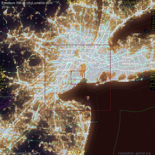
13.55%Clear (daylight) street map image can be seen on geolist.org.
Map coordinates:
41° 8' 25.4" North, 74° 47' 56.8" West
40° 36' 31.4" North, 74° 5' 45.5" West
40° 4' 22.1" North, 73° 23' 34.3" West
Some cities around Emerson Hill sort by population:
• Arrochar
2.3 km =1.4 mi,  120°
120°
• Dongan Hills
2.3 km =1.4 mi,  180°
180°
• Clifton
2 km =1.2 mi,  51°
51°
• Westerleigh
3.3 km =2.1 mi,  294°
294°
• Concord
1 km =0.6 mi,  93°
93°
• Tompkinsville
3.6 km =2.2 mi,  24°
24°
• South Beach
3.3 km =2.1 mi,  149°
149°
• Stapleton
2.5 km =1.6 mi,  38°
38°
5116570 (p: 15,412)
Sources (retrieved 2019-11-25):
» Earth at Night: Flat Maps 2012, 2016