Arrochar night lights from space
Night Light of Arrochar (New York) from space (United States) Src. Average luminocity for 10x10km area is 75.5% and for 50x50km: 68.4493%.
Analysis of Arrochar night lights 2016
Square area 10x10 km:
 37.5%
37.5%90-99
18.67%80-89
2.11%70-79
4.87%60-69
6.33%50-59
5.36%40-49
2.92%30-39
8.44%20-29
10.71%10-19
3.08%0-9
0%Square area 50x50 km:
35.04%90-99
14.89%80-89
6.1%70-79
6.31%60-69
5.11%50-59
3.8%40-49
2.43%30-39
2.43%20-29
3.43%10-19
4.57%0-9
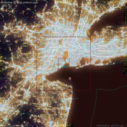
15.9%Clear (daylight) street map image can be seen on geolist.org.
Map coordinates:
41° 7' 48.6" North, 74° 46' 32.8" West
40° 35' 54.4" North, 74° 4' 21.5" West
40° 3' 44.8" North, 73° 22' 10.3" West
Some cities around Arrochar sort by population:
• Fort Hamilton
4 km =2.5 mi,  55°
55°
• Emerson Hill
2.3 km =1.4 mi,  300°
300°
• Dongan Hills
2.3 km =1.4 mi,  240°
240°
• Clifton
2.4 km =1.5 mi,  351°
351°
• Concord
1.5 km =0.9 mi,  317°
317°
• South Beach
1.7 km =1.1 mi,  189°
189°
• Midland Beach
3.4 km =2.1 mi,  213°
213°
• Stapleton
3.1 km =1.9 mi, 352°
5107374 (p: 13,010)
Sources (retrieved 2019-11-25):
» Earth at Night: Flat Maps 2012, 2016