Midland Beach night lights from space
Night Light of Midland Beach (New York) from space (United States) Src. Average luminocity for 10x10km area is 63.7289% and for 50x50km: 66.6792%.
Analysis of Midland Beach night lights 2016
Square area 10x10 km:
 29.71%
90-99
16.07%80-89
1.95%70-79
3.57%60-69
2.76%50-59
4.38%40-49
3.57%30-39
8.12%20-29
14.77%10-19
10.88%0-9
4.22%Square area 50x50 km:
32.15%90-99
13.62%80-89
6.19%70-79
6.68%60-69
6.31%50-59
5.37%40-49
3.1%30-39
2.61%20-29
3.39%10-19
4.62%0-9
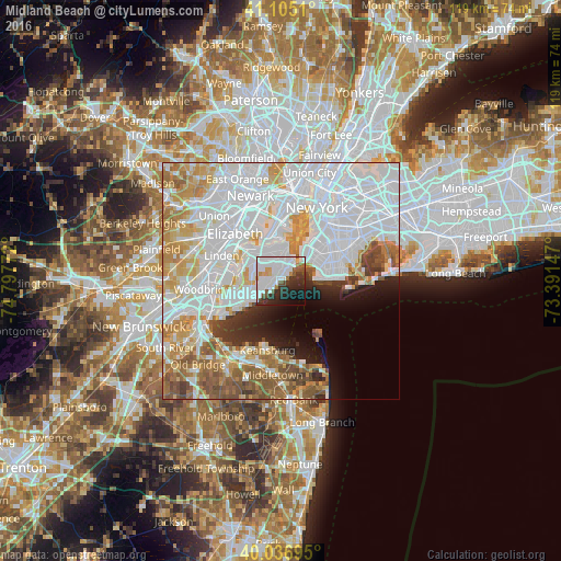
15.95%Clear (daylight) street map image can be seen on geolist.org.
Map coordinates:
41° 6' 18.4" North, 74° 47' 51.8" West
40° 34' 23.4" North, 74° 5' 40.5" West
40° 2' 13" North, 73° 23' 29.3" West
Some cities around Midland Beach sort by population:
• Staten Island
4 km =2.5 mi,  252°
252°
• Arrochar
3.4 km =2.1 mi,  33°
33°
• Oakwood
2.1 km =1.3 mi,  240°
240°
• Dongan Hills
1.7 km =1.1 mi,  355°
355°
• Concord
4 km =2.5 mi,  12°
12°
• South Beach
1.9 km =1.2 mi,  54°
54°
• New Dorp
1.8 km =1.1 mi,  272°
272°
• New Dorp Beach
1.1 km =0.7 mi,  219°
219°
5126855 (p: 7,402)
Sources (retrieved 2019-11-25):
» Earth at Night: Flat Maps 2012, 2016