Holbrook night lights from space
Night Light of Holbrook (New York) from space (United States) Src. Average luminocity for 10x10km area is 85.7449% and for 50x50km: 36.4529%.
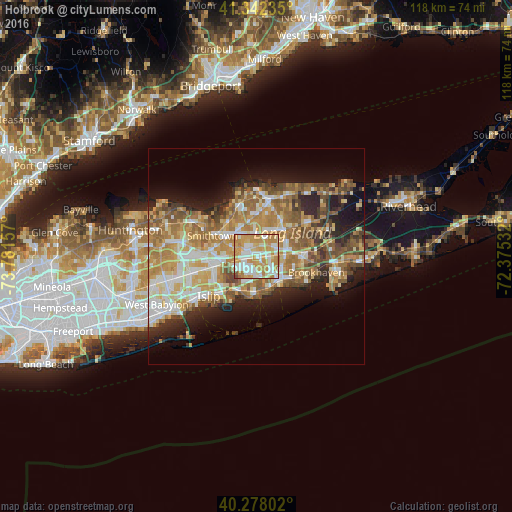
Analysis of Holbrook night lights 2016
Square area 10x10 km:
 21.26%
90-99
23.3%80-89
13.78%70-79
34.18%60-69
6.46%50-59
0.68%40-49
0.34%30-39
0%20-29
0%10-19
0%0-9
0%Square area 50x50 km:
5.25%90-99
6.75%80-89
5.55%70-79
7.69%60-69
7.21%50-59
6.08%40-49
4.28%30-39
3.05%20-29
5.78%10-19
9.75%0-9
38.61%Clear (daylight) street map image can be seen on geolist.org.
Map coordinates:
41° 20' 32.5" North, 73° 46' 53.7" West
40° 48' 44.4" North, 73° 4' 42.4" West
40° 16' 40.9" North, 72° 22' 31.2" West
Some cities around Holbrook sort by population:
• Centereach
5.4 km =3.4 mi,  340°
340°
• Lake Ronkonkoma
5.1 km =3.2 mi,  299°
299°
• Holtsville
2.8 km =1.7 mi,  83°
83°
• Ronkonkoma
2.9 km =1.8 mi,  276°
276°
• Farmingville
4.6 km =2.9 mi,  62°
62°
• Lake Grove
5.5 km =3.4 mi,  325°
325°
• Bohemia
5.7 km =3.5 mi,  212°
212°
• North Patchogue
6.5 km =4 mi,  115°
115°
5120987 (p: 27,195)
Sources (retrieved 2019-11-25):
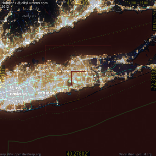
» Earth at Night: Flat Maps 2012, 2016