Cheshire night lights from space
Night Light of Cheshire (Connecticut) from space (United States) Src. Average luminocity for 10x10km area is 45.0697% and for 50x50km: 41.9479%.
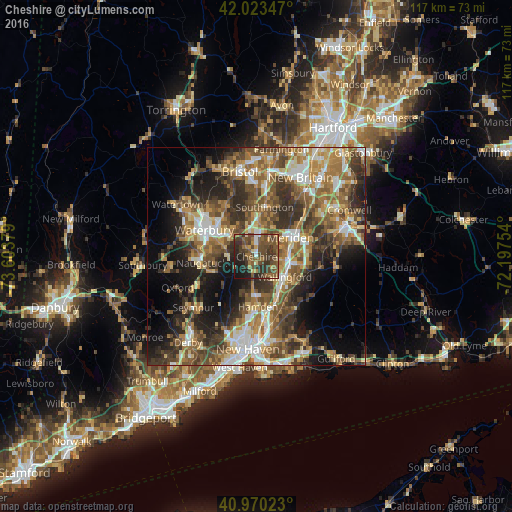
Analysis of Cheshire night lights 2016
Square area 10x10 km:
 1.36%
1.36%90-99
2.21%80-89
2.55%70-79
5.1%60-69
9.18%50-59
15.65%40-49
24.32%30-39
16.67%20-29
14.29%10-19
8.67%0-9
0%Square area 50x50 km:
5.28%90-99
6.16%80-89
5.26%70-79
6.52%60-69
7.73%50-59
9.14%40-49
8.71%30-39
8.45%20-29
9.63%10-19
11.95%0-9
21.17%Clear (daylight) street map image can be seen on geolist.org.
Map coordinates:
42° 1' 24.5" North, 73° 36' 13.6" West
41° 29' 56.4" North, 72° 54' 2.4" West
40° 58' 12.8" North, 72° 11' 51.1" West
Some cities around Cheshire sort by population:
• Meriden
8.9 km =5.5 mi,  60°
60°
• Hamden
11.5 km =7.1 mi,  178°
178°
• Naugatuck
12.6 km =7.8 mi,  263°
263°
• North Haven
12.5 km =7.8 mi,  164°
164°
• Wallingford Center
8.7 km =5.4 mi,  128°
128°
• Wallingford
8 km =5 mi, 125°
• Wolcott
13.5 km =8.4 mi,  328°
328°
• Prospect
6.5 km =4 mi,  273°
273°
5283837 (p: 29,443)
Sources (retrieved 2019-11-25):
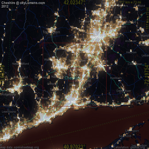
» Earth at Night: Flat Maps 2012, 2016