Mount Vernon night lights from space
Night Light of Mount Vernon (Illinois) from space (United States) Src. Average luminocity for 10x10km area is 44.1361% and for 50x50km: 5.1643%.
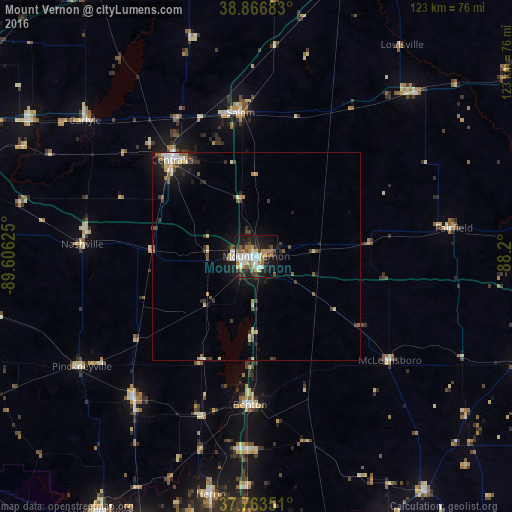
Analysis of Mount Vernon night lights 2016
Square area 10x10 km:
 8.33%
8.33%90-99
8.67%80-89
4.42%70-79
5.95%60-69
6.63%50-59
6.29%40-49
4.42%30-39
4.93%20-29
13.95%10-19
27.89%0-9
8.5%Square area 50x50 km:
0.62%90-99
0.74%80-89
0.71%70-79
0.52%60-69
0.51%50-59
0.84%40-49
0.65%30-39
0.92%20-29
1.26%10-19
3.83%0-9
89.4%Clear (daylight) street map image can be seen on geolist.org.
Map coordinates:
38° 52' 0.6" North, 89° 36' 22.5" West
38° 19' 2.2" North, 88° 54' 11.2" West
37° 45' 48.6" North, 88° 12' 0" West
Some cities around Mount Vernon sort by population:
• Herrin
58.2 km =36.2 mi,  190°
190°
• Centralia
30.6 km =19 mi,  319°
319°
• West Frankfort
46.7 km =29 mi,  183°
183°
• Salem
34.6 km =21.5 mi,  353°
353°
• Benton
35.7 km =22.2 mi, 182°
• Du Quoin
44.8 km =27.8 mi,  220°
220°
• Pinckneyville
49.4 km =30.7 mi,  237°
237°
• Fairfield
47.9 km =29.8 mi,  81°
81°
4245152 (p: 15,087)
Sources (retrieved 2019-11-25):
» Earth at Night: Flat Maps 2012, 2016