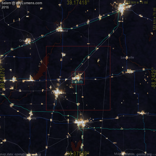
Salem night lights from space
Night Light of Salem (Illinois) from space (United States) Src. Average luminocity for 10x10km area is 25.7614% and for 50x50km: 4.5127%.
Analysis of Salem night lights 2016
Square area 10x10 km:
 2.76%
2.76%90-99
3.08%80-89
2.76%70-79
6.01%60-69
2.27%50-59
3.9%40-49
2.6%30-39
3.9%20-29
6.49%10-19
24.68%0-9
41.56%Square area 50x50 km:
0.37%90-99
0.6%80-89
0.57%70-79
0.56%60-69
0.47%50-59
0.66%40-49
0.43%30-39
0.98%20-29
1.13%10-19
3.57%0-9
90.66%Clear (daylight) street map image can be seen on geolist.org.
Map coordinates:
39° 10' 27" North, 89° 38' 55.5" West
38° 37' 37.2" North, 88° 56' 44.2" West
38° 4' 32.1" North, 88° 14' 33" West
Some cities around Salem sort by population:
• Mount Vernon
34.6 km =21.5 mi,  173°
173°
• Centralia
19.9 km =12.4 mi,  235°
235°
• Effingham
64.9 km =40.3 mi,  32°
32°
• Highland
64.2 km =39.9 mi,  281°
281°
• Vandalia
39.3 km =24.4 mi,  340°
340°
• Benton
70.1 km =43.6 mi,  178°
178°
• Greenville
50.1 km =31.1 mi,  306°
306°
• Fairfield
58 km =36 mi,  118°
118°
4249286 (p: 7,287)
Sources (retrieved 2019-11-25):
» Earth at Night: Flat Maps 2012, 2016