Du Quoin night lights from space
Night Light of Du Quoin (Illinois) from space (United States) Src. Average luminocity for 10x10km area is 18.5487% and for 50x50km: 5.0125%.
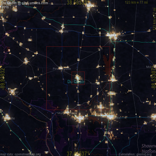
Analysis of Du Quoin night lights 2016
Square area 10x10 km:
 1.95%
1.95%90-99
1.62%80-89
3.57%70-79
3.08%60-69
2.76%50-59
2.6%40-49
0.65%30-39
1.95%20-29
4.71%10-19
9.09%0-9
68.02%Square area 50x50 km:
0.2%90-99
0.39%80-89
0.91%70-79
0.5%60-69
0.72%50-59
0.59%40-49
0.6%30-39
1.09%20-29
1.19%10-19
3.74%0-9
90.06%Clear (daylight) street map image can be seen on geolist.org.
Map coordinates:
38° 33' 48" North, 89° 56' 21.6" West
38° 0' 41.2" North, 89° 14' 10.3" West
37° 27' 19.3" North, 88° 31' 59.1" West
Some cities around Du Quoin sort by population:
• Carbondale
31.6 km =19.6 mi,  176°
176°
• Marion
41 km =25.5 mi,  139°
139°
• Herrin
29.5 km =18.3 mi, 141°
• West Frankfort
29.6 km =18.4 mi,  115°
115°
• Murphysboro
28.8 km =17.9 mi,  197°
197°
• Benton
27.7 km =17.2 mi,  93°
93°
• Carterville
31.2 km =19.4 mi,  153°
153°
• Pinckneyville
14.9 km =9.3 mi,  300°
300°
4237312 (p: 5,949)
Sources (retrieved 2019-11-25):
» Earth at Night: Flat Maps 2012, 2016