Centralia night lights from space
Night Light of Centralia (Illinois) from space (United States) Src. Average luminocity for 10x10km area is 36.5049% and for 50x50km: 7.154%.
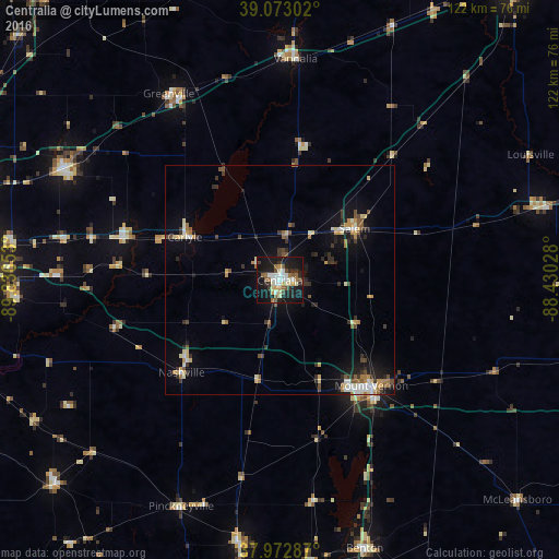
Analysis of Centralia night lights 2016
Square area 10x10 km:
 5.68%
5.68%90-99
6.82%80-89
4.87%70-79
3.41%60-69
4.38%50-59
5.03%40-49
3.25%30-39
4.71%20-29
8.77%10-19
43.67%0-9
9.42%Square area 50x50 km:
0.8%90-99
0.95%80-89
0.92%70-79
0.89%60-69
0.83%50-59
0.98%40-49
0.72%30-39
1.3%20-29
1.62%10-19
4.98%0-9
86.02%Clear (daylight) street map image can be seen on geolist.org.
Map coordinates:
39° 4' 22.9" North, 89° 50' 11.5" West
38° 31' 30.2" North, 89° 8' 0.2" West
37° 58' 22.3" North, 88° 25' 49" West
Some cities around Centralia sort by population:
• Mount Vernon
30.6 km =19 mi,  139°
139°
• Highland
52.4 km =32.6 mi,  297°
297°
• Mascoutah
57.5 km =35.7 mi,  266°
266°
• Salem
19.9 km =12.4 mi,  55°
55°
• Vandalia
48.6 km =30.2 mi,  4°
4°
• Greenville
47.5 km =29.5 mi,  329°
329°
• Du Quoin
57.8 km =35.9 mi,  188°
188°
• Pinckneyville
54 km =33.6 mi,  203°
203°
4235587 (p: 12,655)
Sources (retrieved 2019-11-25):
» Earth at Night: Flat Maps 2012, 2016