Fairfield night lights from space
Night Light of Fairfield (Illinois) from space (United States) Src. Average luminocity for 10x10km area is 10.5816% and for 50x50km: 0.934%.
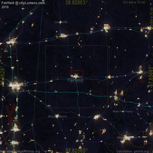
Analysis of Fairfield night lights 2016
Square area 10x10 km:
 0.34%
0.34%90-99
1.02%80-89
0.85%70-79
3.23%60-69
1.02%50-59
2.72%40-49
2.38%30-39
0.51%20-29
1.53%10-19
2.04%0-9
84.35%Square area 50x50 km:
0.01%90-99
0.05%80-89
0.07%70-79
0.17%60-69
0.13%50-59
0.2%40-49
0.24%30-39
0.36%20-29
0.33%10-19
0.11%0-9
98.32%Clear (daylight) street map image can be seen on geolist.org.
Map coordinates:
38° 55' 40.9" North, 89° 3' 46.4" West
38° 22' 44.2" North, 88° 21' 35.2" West
37° 49' 32.3" North, 87° 39' 23.9" West
Some cities around Fairfield sort by population:
• Mount Vernon
47.9 km =29.8 mi,  261°
261°
• Olney
45.8 km =28.5 mi,  31°
31°
• Princeton
69.1 km =42.9 mi,  92°
92°
• Salem
58 km =36 mi,  298°
298°
• Benton
64.8 km =40.3 mi,  229°
229°
• Mount Carmel
52.3 km =32.5 mi, 86°
• Mount Vernon
64.2 km =39.9 mi,  140°
140°
• Carmi
36.5 km =22.7 mi,  151°
151°
4238081 (p: 5,040)
Sources (retrieved 2019-11-25):
» Earth at Night: Flat Maps 2012, 2016