Pinckneyville night lights from space
Night Light of Pinckneyville (Illinois) from space (United States) Src. Average luminocity for 10x10km area is 12.0958% and for 50x50km: 2.4897%.
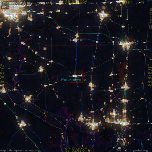
Analysis of Pinckneyville night lights 2016
Square area 10x10 km:
 0.81%
0.81%90-99
1.3%80-89
3.73%70-79
1.3%60-69
1.95%50-59
0.65%40-49
0.97%30-39
1.79%20-29
1.79%10-19
1.46%0-9
84.25%Square area 50x50 km:
0.14%90-99
0.2%80-89
0.51%70-79
0.25%60-69
0.43%50-59
0.4%40-49
0.23%30-39
0.5%20-29
0.5%10-19
0.6%0-9
96.24%Clear (daylight) street map image can be seen on geolist.org.
Map coordinates:
38° 37' 54.1" North, 90° 5' 6.6" West
38° 4' 49.2" North, 89° 22' 55.3" West
37° 31' 29.2" North, 88° 40' 44.1" West
Some cities around Pinckneyville sort by population:
• Carbondale
41.8 km =26 mi,  159°
159°
• Herrin
43.8 km =27.2 mi,  134°
134°
• Chester
42.8 km =26.6 mi,  244°
244°
• West Frankfort
44.4 km =27.6 mi,  117°
117°
• Murphysboro
35.4 km =22 mi,  173°
173°
• Benton
41.5 km =25.8 mi,  102°
102°
• Du Quoin
14.9 km =9.3 mi, 120°
• Carterville
44.5 km =27.7 mi,  143°
143°
4246983 (p: 5,385)
Sources (retrieved 2019-11-25):
» Earth at Night: Flat Maps 2012, 2016