Willmar night lights from space
Night Light of Willmar (Minnesota) from space (United States) Src. Average luminocity for 10x10km area is 43.4848% and for 50x50km: 2.7657%.
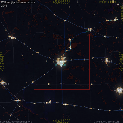
Analysis of Willmar night lights 2016
Square area 10x10 km:
 9.24%
9.24%90-99
11.97%80-89
6.52%70-79
3.48%60-69
4.09%50-59
1.97%40-49
2.42%30-39
3.48%20-29
11.67%10-19
38.18%0-9
6.97%Square area 50x50 km:
0.38%90-99
0.58%80-89
0.39%70-79
0.2%60-69
0.26%50-59
0.25%40-49
0.34%30-39
0.32%20-29
0.67%10-19
2.21%0-9
94.41%Clear (daylight) street map image can be seen on geolist.org.
Map coordinates:
45° 36' 57.2" North, 95° 44' 47.3" West
45° 7' 18.9" North, 95° 2' 36" West
44° 37' 25.1" North, 94° 20' 24.8" West
Some cities around Willmar sort by population:
• Saint Cloud
84.4 km =52.4 mi,  54°
54°
• Hutchinson
59 km =36.7 mi,  116°
116°
• Waite Park
80.3 km =49.9 mi, 52°
• Litchfield
40.4 km =25.1 mi,  89°
89°
• Saint Joseph
75.1 km =46.7 mi, 48°
• Glencoe
80.4 km =50 mi, 119°
• Montevideo
56.4 km =35 mi,  249°
249°
• Redwood Falls
65 km =40.4 mi,  185°
185°
5052916 (p: 19,638)
Sources (retrieved 2019-11-25):
» Earth at Night: Flat Maps 2012, 2016