Monroeville night lights from space
Night Light of Monroeville (Pennsylvania) from space (United States) Src. Average luminocity for 10x10km area is 72.8503% and for 50x50km: 49.0462%.
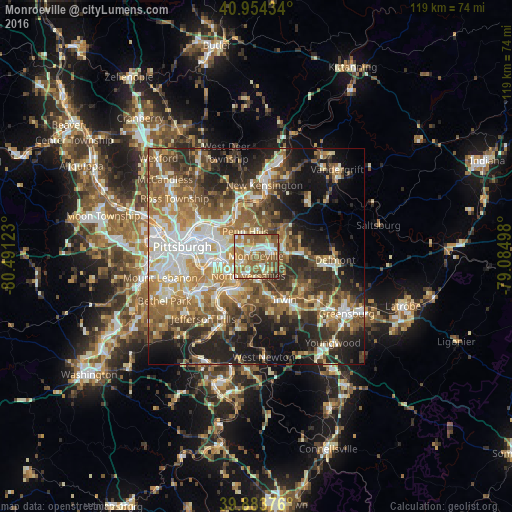
Analysis of Monroeville night lights 2016
Square area 10x10 km:
 13.27%
90-99
13.61%80-89
6.63%70-79
13.95%60-69
28.74%50-59
17.18%40-49
4.76%30-39
1.87%20-29
0%10-19
0%0-9
0%Square area 50x50 km:
7.71%90-99
8.84%80-89
5.9%70-79
7.21%60-69
9.26%50-59
9.87%40-49
8.08%30-39
6.88%20-29
11.41%10-19
13.47%0-9
11.38%Clear (daylight) street map image can be seen on geolist.org.
Map coordinates:
40° 57' 15.6" North, 80° 29' 28.4" West
40° 25' 16.2" North, 79° 47' 17.2" West
39° 53' 1.5" North, 79° 5' 5.9" West
Some cities around Monroeville sort by population:
• Murrysville
7.7 km =4.8 mi,  84°
84°
• West Mifflin
9.2 km =5.7 mi,  225°
225°
• Wilkinsburg
8.3 km =5.2 mi,  286°
286°
• North Versailles
4.9 km =3 mi,  201°
201°
• Swissvale
8 km =5 mi,  271°
271°
• Forest Hills
5.2 km =3.2 mi, 268°
• Duquesne
7.5 km =4.7 mi, 233°
• Turtle Creek
3.6 km =2.2 mi,  241°
241°
5201734 (p: 28,176)
Sources (retrieved 2019-11-25):
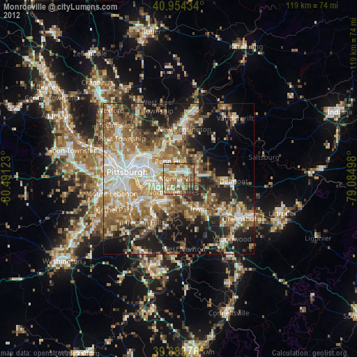
» Earth at Night: Flat Maps 2012, 2016