Monmouth night lights from space
Night Light of Monmouth (Illinois) from space (United States) Src. Average luminocity for 10x10km area is 14.4694% and for 50x50km: 3.1238%.
Analysis of Monmouth night lights 2016
Square area 10x10 km:
 1.19%
1.19%90-99
2.21%80-89
1.36%70-79
1.36%60-69
3.06%50-59
2.89%40-49
1.53%30-39
1.36%20-29
4.08%10-19
1.87%0-9
79.08%Square area 50x50 km:
0.43%90-99
0.51%80-89
0.46%70-79
0.31%60-69
0.4%50-59
0.26%40-49
0.51%30-39
0.49%20-29
0.86%10-19
1.67%0-9
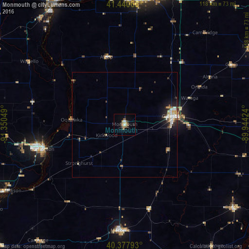
94.09%Clear (daylight) street map image can be seen on geolist.org.
Map coordinates:
41° 26' 26.4" North, 91° 21' 1.8" West
40° 54' 41.1" North, 90° 38' 50.5" West
40° 22' 40.5" North, 89° 56' 39.3" West
Some cities around Monmouth sort by population:
• Rock Island
66.7 km =41.4 mi,  4°
4°
• Galesburg
23.5 km =14.6 mi,  80°
80°
• Burlington
40.8 km =25.4 mi,  253°
253°
• Muscatine
66 km =41 mi,  329°
329°
• Macomb
50.3 km =31.3 mi,  182°
182°
• Canton
64.8 km =40.3 mi,  127°
127°
• Fort Madison
64.4 km =40 mi,  240°
240°
• Milan
60.6 km =37.7 mi,  5°
5°
4902512 (p: 9,291)
Sources (retrieved 2019-11-25):
» Earth at Night: Flat Maps 2012, 2016