Rock Island night lights from space
Night Light of Rock Island (Illinois) from space (United States) Src. Average luminocity for 10x10km area is 85.9218% and for 50x50km: 18.5078%.
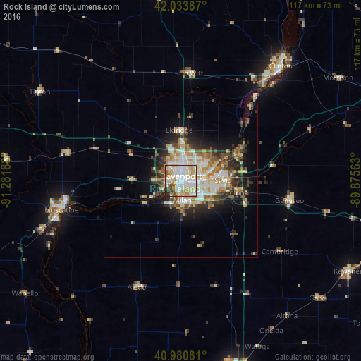
Analysis of Rock Island night lights 2016
Square area 10x10 km:
 30.61%
90-99
27.21%80-89
13.44%70-79
12.41%60-69
4.93%50-59
4.42%40-49
2.21%30-39
3.57%20-29
1.19%10-19
0%0-9
0%Square area 50x50 km:
3.36%90-99
3.43%80-89
2.87%70-79
2.45%60-69
2.24%50-59
2.32%40-49
2.29%30-39
2.73%20-29
4.53%10-19
6.66%0-9
67.13%Clear (daylight) street map image can be seen on geolist.org.
Map coordinates:
42° 2' 1.9" North, 91° 16' 54.8" West
41° 30' 34.1" North, 90° 34' 43.5" West
40° 58' 50.9" North, 89° 52' 32.3" West
Some cities around Rock Island sort by population:
• Davenport
1.6 km =1 mi,  3°
3°
• Moline
5.3 km =3.3 mi,  93°
93°
• Bettendorf
5.5 km =3.4 mi,  72°
72°
• East Moline
11.2 km =7 mi, 94°
• Silvis
13.6 km =8.5 mi, 88°
• Eldridge
16.5 km =10.3 mi,  358°
358°
• Colona
19 km =11.8 mi,  98°
98°
• Milan
6.3 km =3.9 mi,  174°
174°
4907907 (p: 38,620)
Sources (retrieved 2019-11-25):
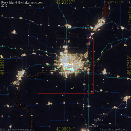
» Earth at Night: Flat Maps 2012, 2016