Galesburg night lights from space
Night Light of Galesburg (Illinois) from space (United States) Src. Average luminocity for 10x10km area is 53.6667% and for 50x50km: 3.9701%.
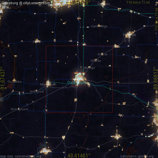
Analysis of Galesburg night lights 2016
Square area 10x10 km:
 10.03%
90-99
11.73%80-89
8.67%70-79
7.99%60-69
4.59%50-59
5.1%40-49
8.67%30-39
9.52%20-29
12.41%10-19
20.58%0-9
0.68%Square area 50x50 km:
0.45%90-99
0.56%80-89
0.58%70-79
0.51%60-69
0.47%50-59
0.38%40-49
0.62%30-39
0.65%20-29
1.11%10-19
2.71%0-9
91.95%Clear (daylight) street map image can be seen on geolist.org.
Map coordinates:
41° 28' 36.3" North, 91° 4' 27.7" West
40° 56' 52.2" North, 90° 22' 16.5" West
40° 24' 52.6" North, 89° 40' 5.2" West
Some cities around Galesburg sort by population:
• East Moline
61.8 km =38.4 mi,  354°
354°
• Macomb
59.9 km =37.2 mi,  205°
205°
• Canton
51.8 km =32.2 mi,  146°
146°
• Kewanee
50 km =31.1 mi,  48°
48°
• Monmouth
23.5 km =14.6 mi,  260°
260°
• Geneseo
58.5 km =36.4 mi,  18°
18°
• Colona
59.6 km =37 mi,  1°
1°
• Milan
58.6 km =36.4 mi,  343°
343°
4893392 (p: 31,273)
Sources (retrieved 2019-11-25):
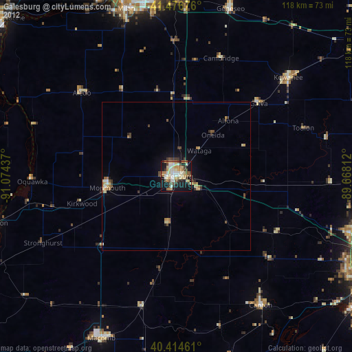
» Earth at Night: Flat Maps 2012, 2016