Monahans night lights from space
Night Light of Monahans (Texas) from space (United States) Src. Average luminocity for 10x10km area is 31.3205% and for 50x50km: 3.0836%.
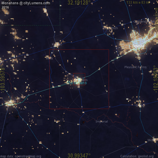
Analysis of Monahans night lights 2016
Square area 10x10 km:
 1.28%
1.28%90-99
2.38%80-89
10.81%70-79
7.88%60-69
2.56%50-59
3.66%40-49
2.56%30-39
1.83%20-29
4.4%10-19
31.14%0-9
31.5%Square area 50x50 km:
0.05%90-99
0.1%80-89
0.79%70-79
0.59%60-69
0.39%50-59
0.39%40-49
0.53%30-39
0.56%20-29
0.53%10-19
2.42%0-9
93.66%Clear (daylight) street map image can be seen on geolist.org.
Map coordinates:
32° 11' 28.6" North, 103° 35' 44.8" West
31° 35' 39.5" North, 102° 53' 33.5" West
30° 59' 36.5" North, 102° 11' 22.3" West
Some cities around Monahans sort by population:
• Midland
89.1 km =55.4 mi,  59°
59°
• Odessa
57 km =35.4 mi, 60°
• Hobbs
125.3 km =77.9 mi,  349°
349°
• West Odessa
46.4 km =28.8 mi,  53°
53°
• Andrews
86.9 km =54 mi,  22°
22°
• Pecos
60 km =37.3 mi,  251°
251°
• Fort Stockton
77.9 km =48.4 mi,  179°
179°
• Kermit
34.9 km =21.7 mi,  327°
327°
5526514 (p: 7,690)
Sources (retrieved 2019-11-25):
» Earth at Night: Flat Maps 2012, 2016