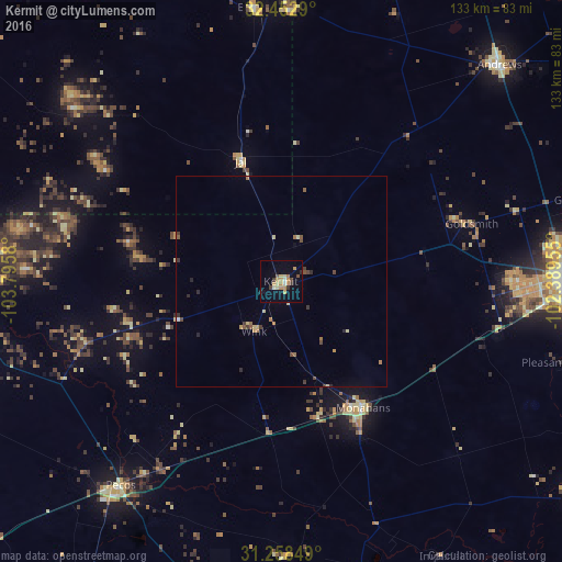
Kermit night lights from space
Night Light of Kermit (Texas) from space (United States) Src. Average luminocity for 10x10km area is 17.5788% and for 50x50km: 1.8845%.
Analysis of Kermit night lights 2016
Square area 10x10 km:
 0.55%
0.55%90-99
0.92%80-89
4.4%70-79
5.68%60-69
1.65%50-59
1.28%40-49
1.28%30-39
2.75%20-29
0.92%10-19
6.04%0-9
74.54%Square area 50x50 km:
0.04%90-99
0.06%80-89
0.44%70-79
0.4%60-69
0.24%50-59
0.22%40-49
0.31%30-39
0.37%20-29
0.28%10-19
0.27%0-9
97.38%Clear (daylight) street map image can be seen on geolist.org.
Map coordinates:
32° 27' 10.4" North, 103° 47' 44.9" West
31° 51' 27.5" North, 103° 5' 33.6" West
31° 15' 30.6" North, 102° 23' 22.4" West
Some cities around Kermit sort by population:
• Midland
97 km =60.3 mi,  80°
80°
• Odessa
68.5 km =42.6 mi,  91°
91°
• Hobbs
94 km =58.4 mi,  357°
357°
• West Odessa
56.1 km =34.9 mi, 91°
• Andrews
72.7 km =45.2 mi,  45°
45°
• Pecos
61.4 km =38.2 mi,  218°
218°
• Monahans
34.9 km =21.7 mi,  147°
147°
• Seminole
104.6 km =65 mi,  23°
23°
5524527 (p: 6,434)
Sources (retrieved 2019-11-25):
» Earth at Night: Flat Maps 2012, 2016