Fort Stockton night lights from space
Night Light of Fort Stockton (Texas) from space (United States) Src. Average luminocity for 10x10km area is 27.9738% and for 50x50km: 1.4667%.
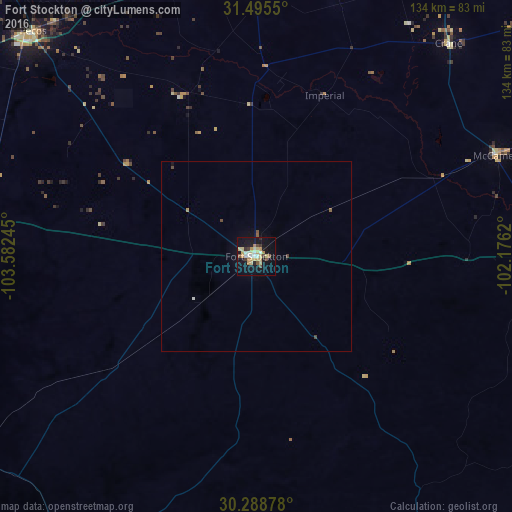
Analysis of Fort Stockton night lights 2016
Square area 10x10 km:
 2.27%
2.27%90-99
4.02%80-89
7.52%70-79
5.94%60-69
1.92%50-59
2.1%40-49
2.8%30-39
2.27%20-29
1.92%10-19
31.99%0-9
37.24%Square area 50x50 km:
0.11%90-99
0.18%80-89
0.32%70-79
0.28%60-69
0.08%50-59
0.18%40-49
0.24%30-39
0.1%20-29
0.08%10-19
1.4%0-9
97.04%Clear (daylight) street map image can be seen on geolist.org.
Map coordinates:
31° 29' 43.8" North, 103° 34' 56.8" West
30° 53' 38.5" North, 102° 52' 45.6" West
30° 17' 19.6" North, 102° 10' 34.3" West
Some cities around Fort Stockton sort by population:
• Midland
144.3 km =89.7 mi,  31°
31°
• Odessa
116.4 km =72.3 mi,  24°
24°
• West Odessa
111.5 km =69.3 mi, 18°
• Andrews
161.5 km =100.4 mi,  11°
11°
• Pecos
82.9 km =51.5 mi,  315°
315°
• Monahans
77.9 km =48.4 mi,  359°
359°
• Kermit
109 km =67.7 mi,  349°
349°
• Alpine
95.7 km =59.5 mi,  231°
231°
5521746 (p: 8,649)
Sources (retrieved 2019-11-25):
» Earth at Night: Flat Maps 2012, 2016