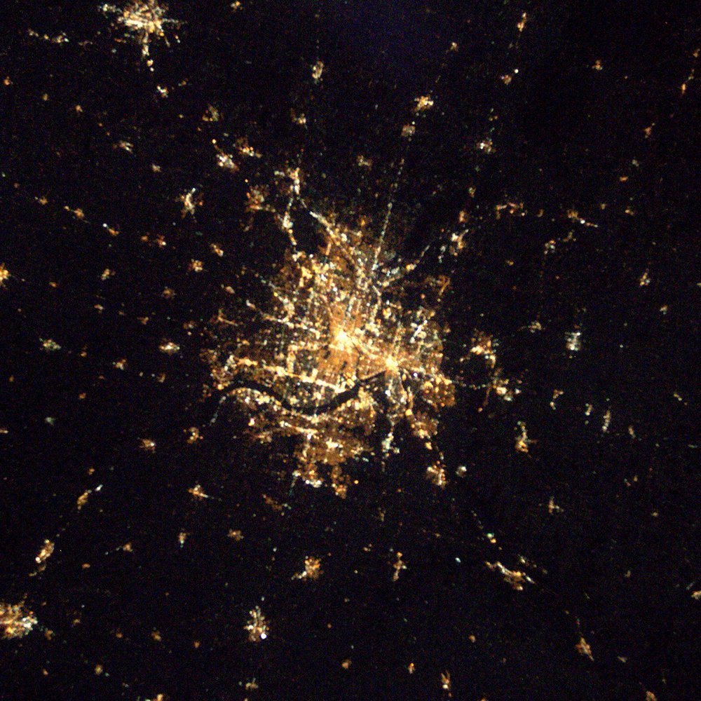
Minneapolis night lights from space
Night Light of Minneapolis (Minnesota) from space (United States) Src. Average luminocity for 10x10km area is 98.6254% and for 50x50km: 68.3433%.
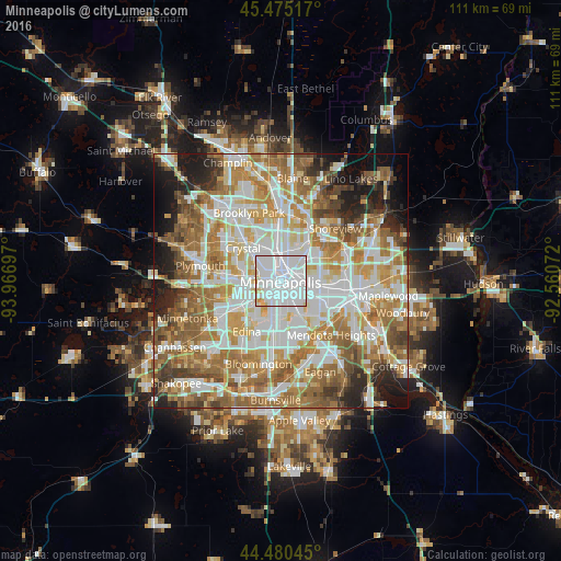

Analysis of Minneapolis night lights 2016
Square area 10x10 km:
 71.75%
90-99
23.02%80-89
4.29%70-79
0.95%60-69
0%50-59
0%40-49
0%30-39
0%20-29
0%10-19
0%0-9
0%Square area 50x50 km:
18.8%90-99
15.99%80-89
7.75%70-79
9.55%60-69
13.79%50-59
9.14%40-49
6.06%30-39
3.81%20-29
5.41%10-19
6.55%0-9
3.16%Clear (daylight) street map image can be seen on geolist.org.
Map coordinates:
45° 28' 30.6" North, 93° 58' 1.1" West
44° 58' 47.9" North, 93° 15' 49.8" West
44° 28' 49.6" North, 92° 33' 38.6" West
Fantastic image of Minneapolis from space taken by astronauts [src2], but I don't have information about it's orientation, scale or angle. If necessary, it was rotated manually, so North points approximately to upper direction. Click to zoom in:
Some cities around Minneapolis sort by population:
• Saint Louis Park
7.5 km =4.7 mi,  241°
241°
• Roseville
8.9 km =5.5 mi,  71°
71°
• Crystal
9.6 km =6 mi,  307°
307°
• Golden Valley
7.5 km =4.7 mi,  296°
296°
• Columbia Heights
6.8 km =4.2 mi,  0°
0°
• Robbinsdale
8.3 km =5.2 mi, 314°
• Saint Anthony
5.8 km =3.6 mi,  38°
38°
• Falcon Heights
7.8 km =4.8 mi,  80°
80°
5037649 (p: 410,939)
Sources (retrieved 2019-11-25):
» NASA, Earths city lights 1995
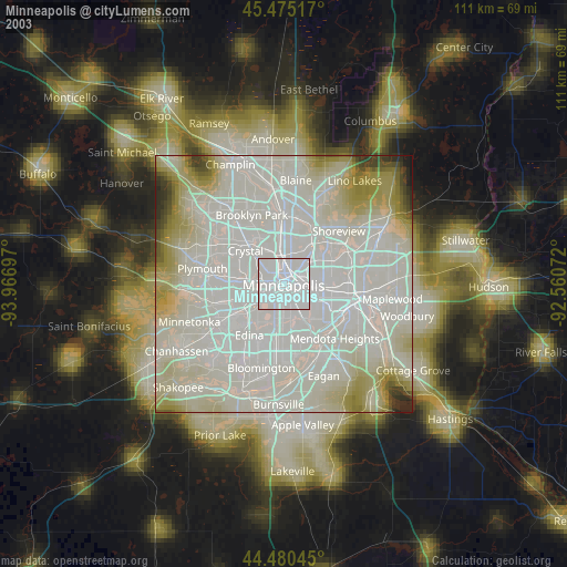
» NASA city lights 2003
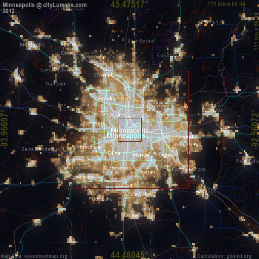
» Earth at Night: Flat Maps 2012, 2016
Src.2: Shane Kimbrough Twitter@astro_kimbroughĀĀ2017-01-19